This gentle walk on Bickerton Hill is ideal for a Sunday afternoon...
| Start GPS coordinate | 53.072203, -2.742883 |
| Approximate Length | 2.15 miles |
| Approximate Duration | 58 minutes |
| Grade | Easy |
Approximate GPS co-ordinate: 53.072217, -2.74288
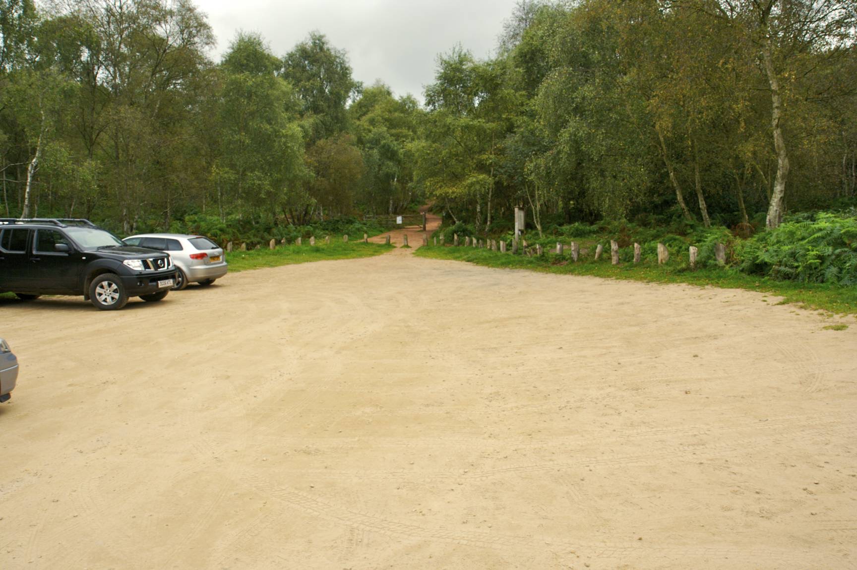
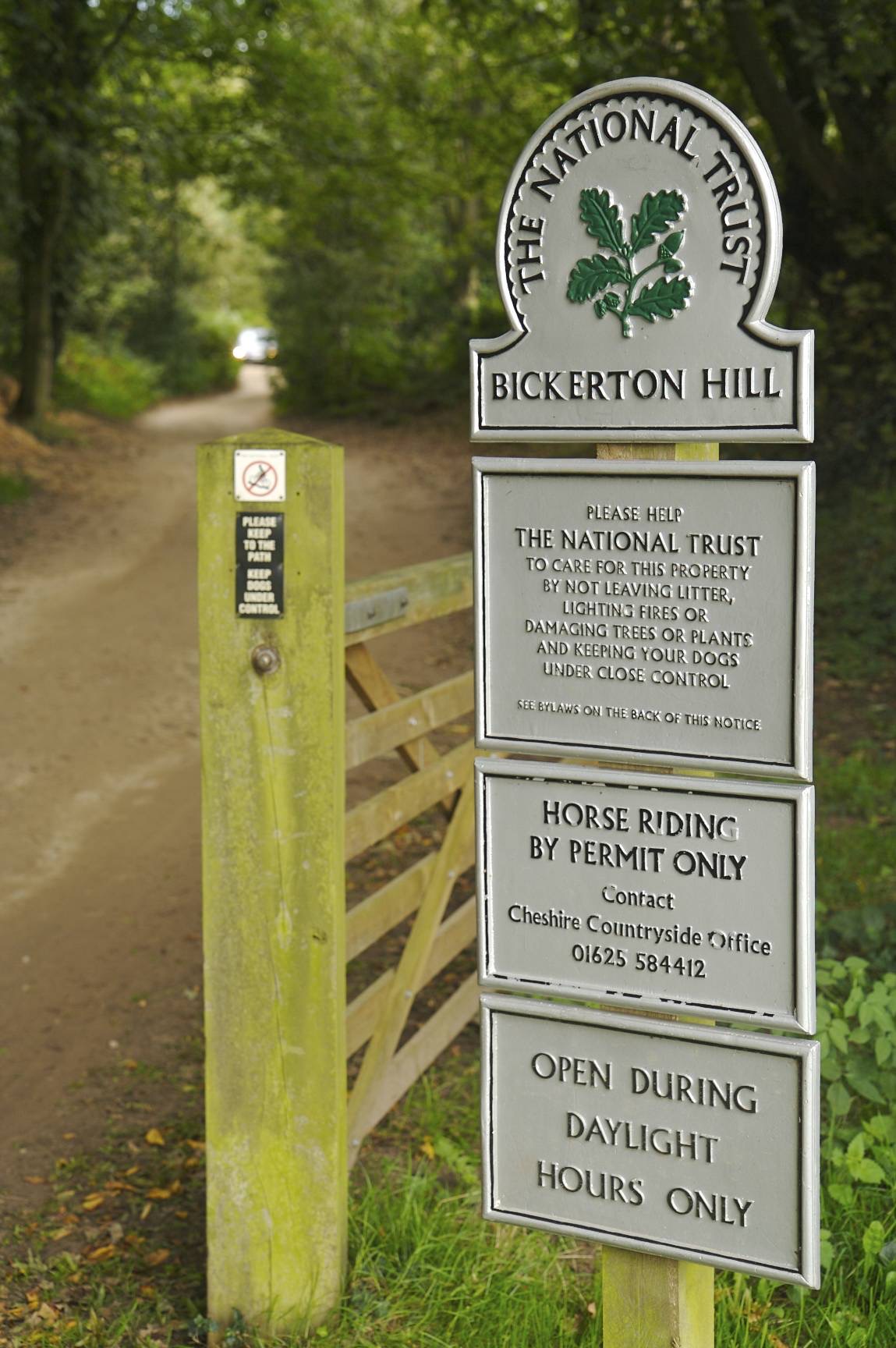
The car park at the bottom of Bickerton Hill is the best place to start this walk. It's open during daylight hours and accessible via a bumpy single track lane so take this slowly and beware of oncoming traffic. Head through the gate and up the hill passing the information sign on the right. This also details other footpaths in the area should you wish to take alternative routes.
Approximate GPS co-ordinate: 53.074273, -2.745922
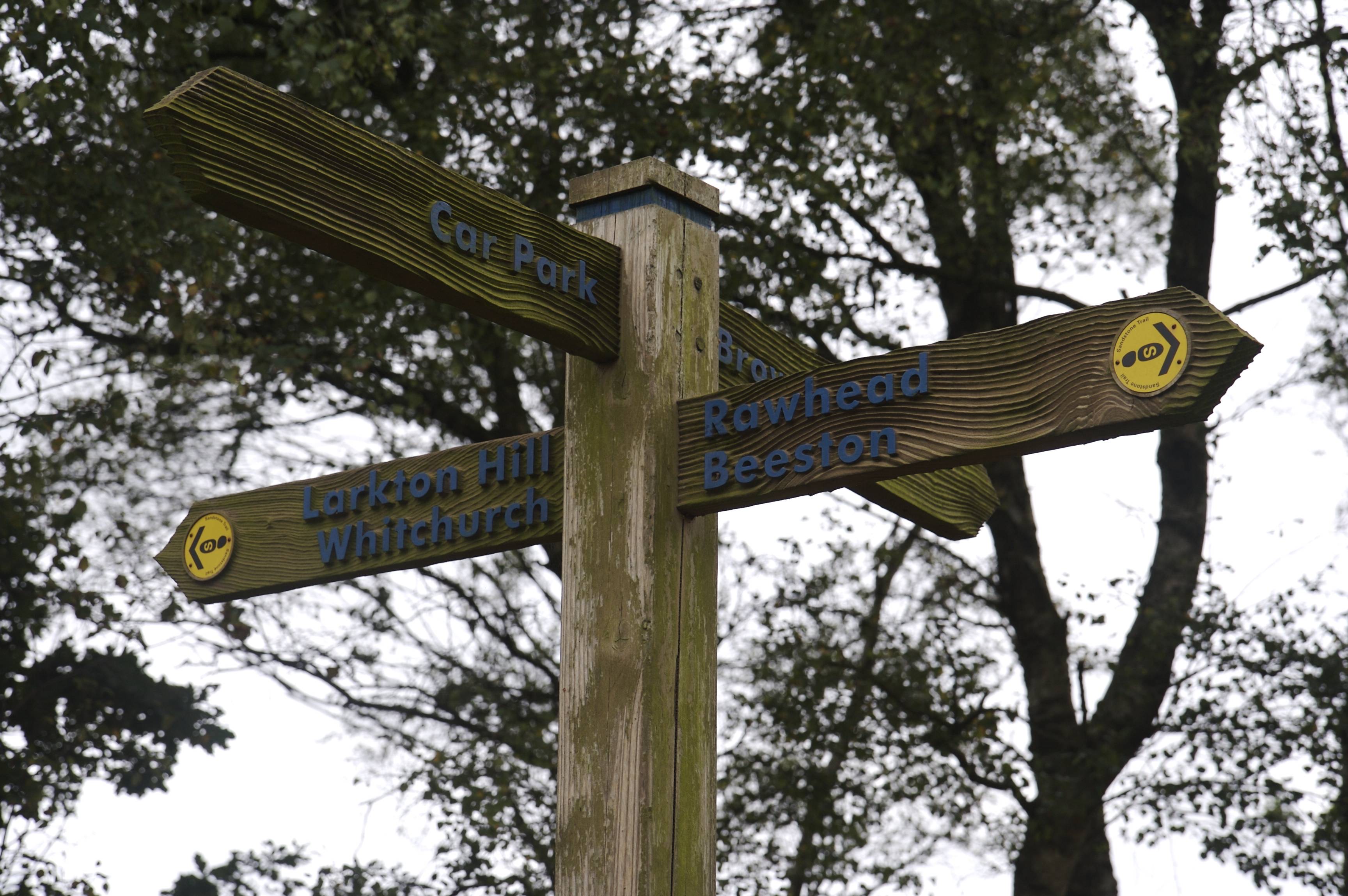
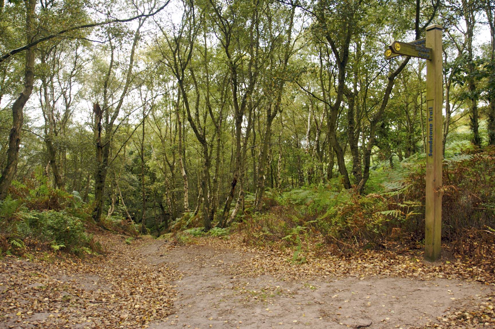
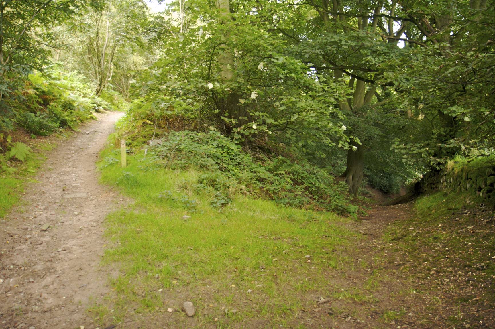
When the footpath forks, take the right hand branch and after a short while you'll see a signpost. Turn left towards Larkton Hill and Whitchurch. From this point, the path is part of the Sandstone Trail.
Approximate GPS co-ordinate: 53.073455, -2.747022
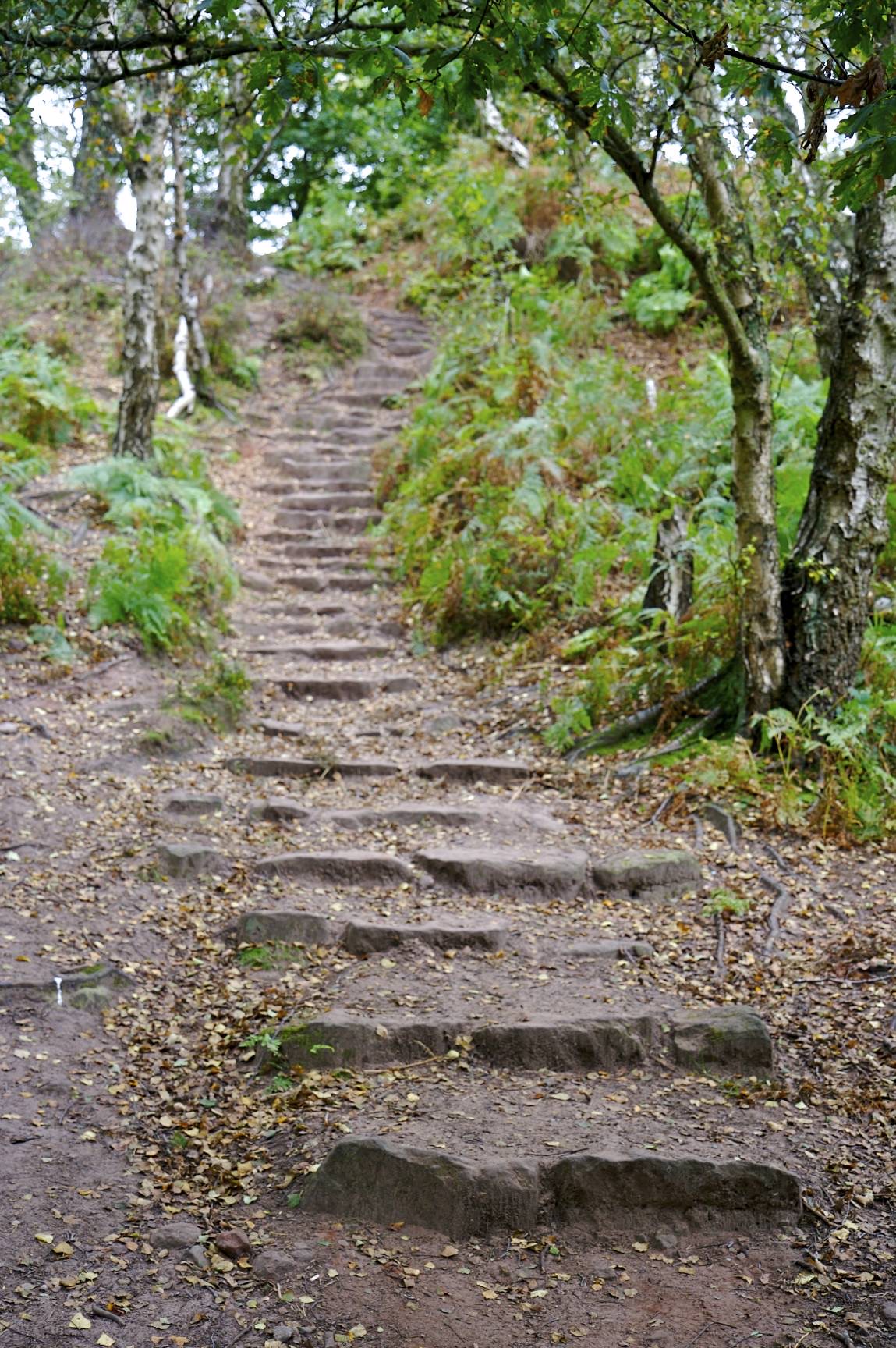
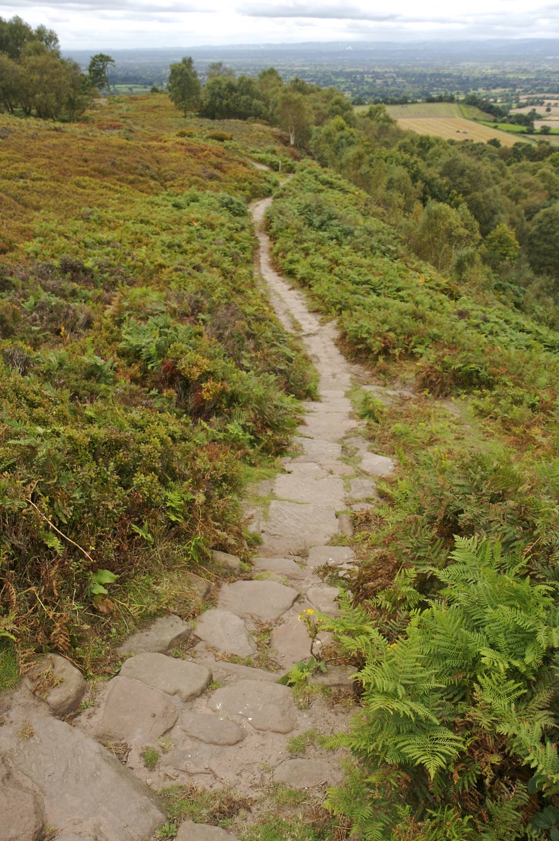
The path heads higher up some sandstone steps. Keep following the round yellow Sandstone Trail markers whenever the path branches off.
Approximate GPS co-ordinate: 53.071595, -2.750473
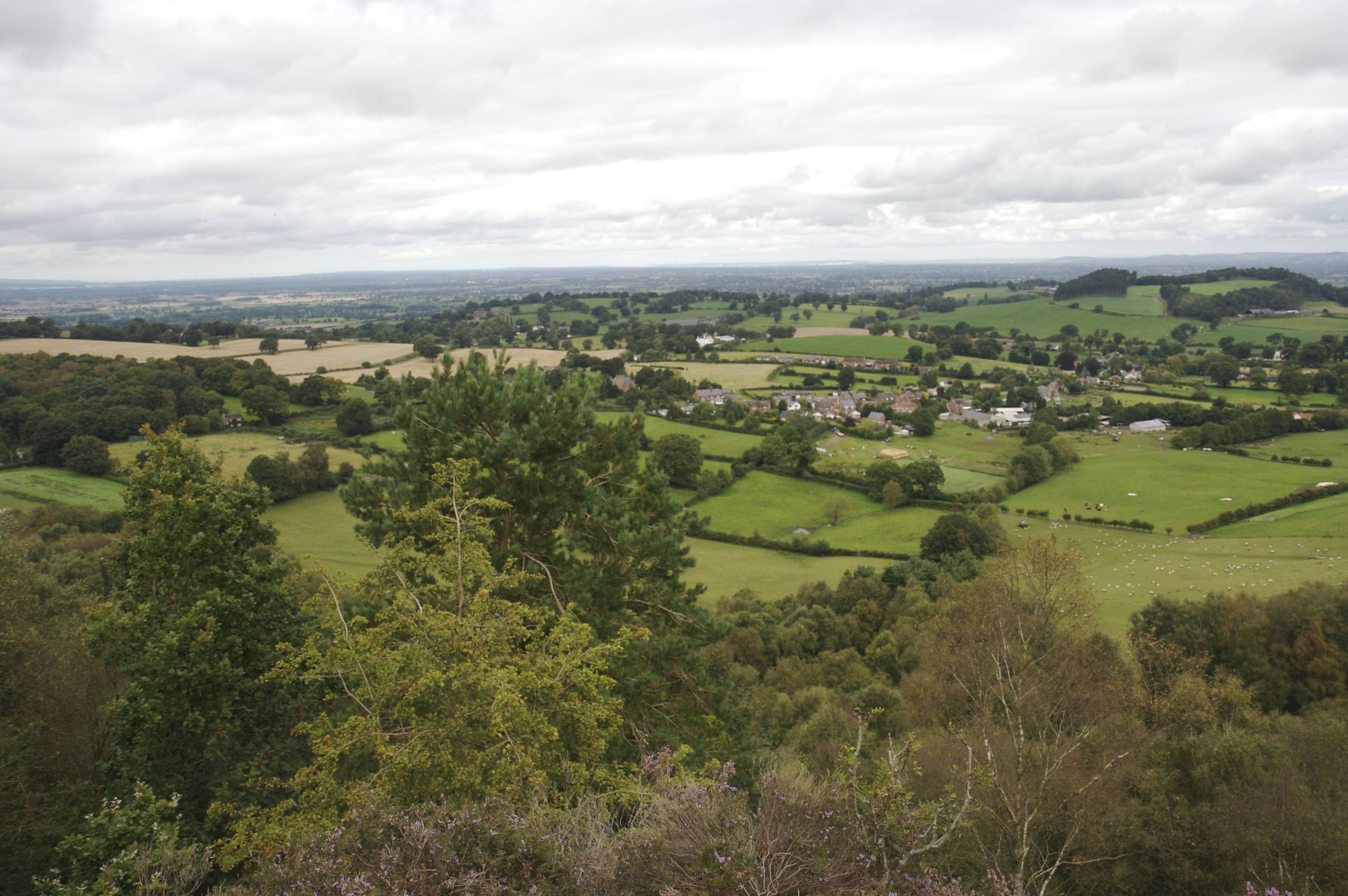
From the top of the steps, there are good view of the Cheshire Plain and towards Liverpool and Wrexham.
Approximate GPS co-ordinate: 53.070247, -2.75174
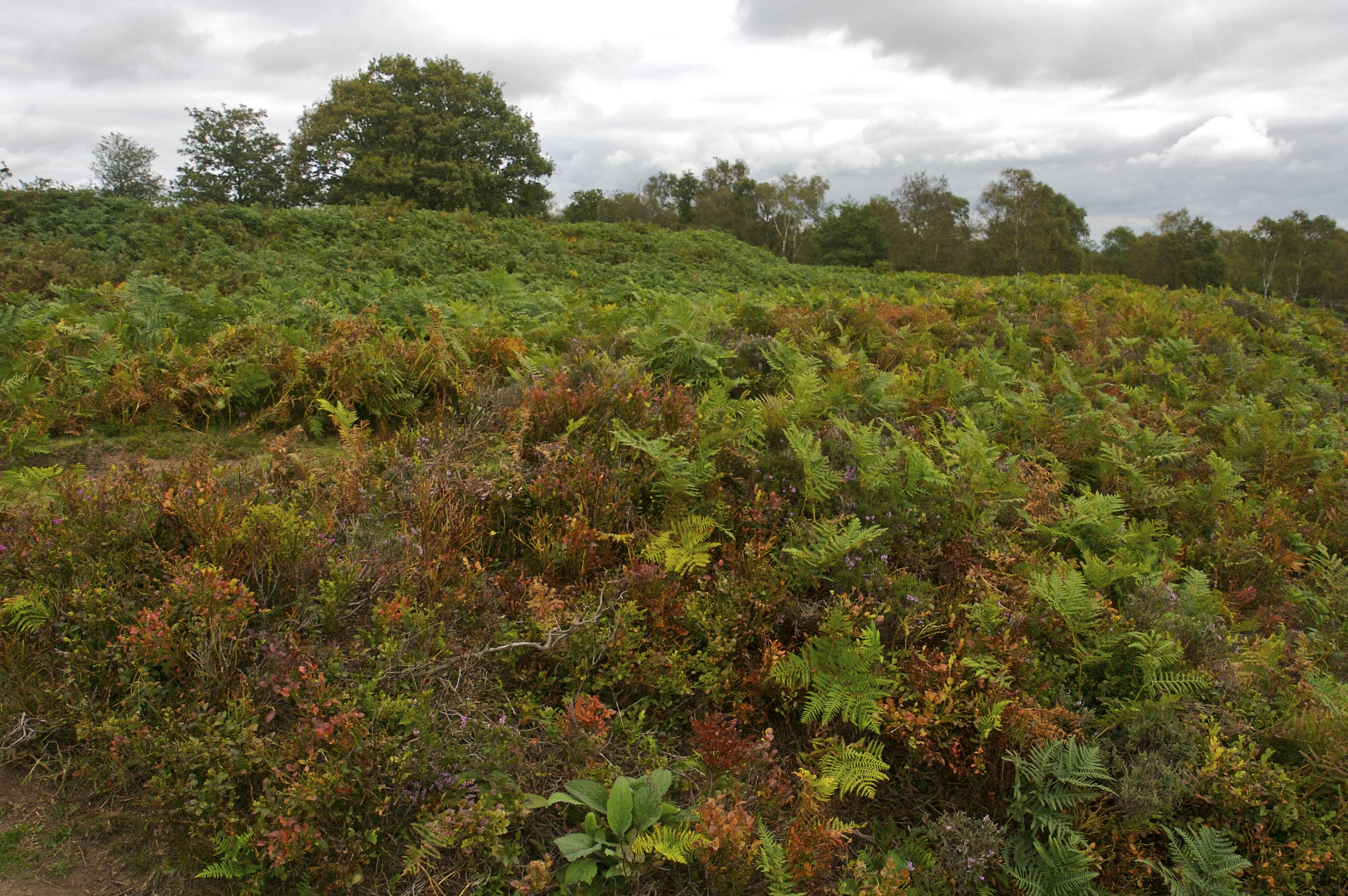
The area of Maiden Castle can be seen on the left and is distinguished by two semi circular ramparts covered by heather and bracken.
Approximate GPS co-ordinate: 53.07017, -2.75156
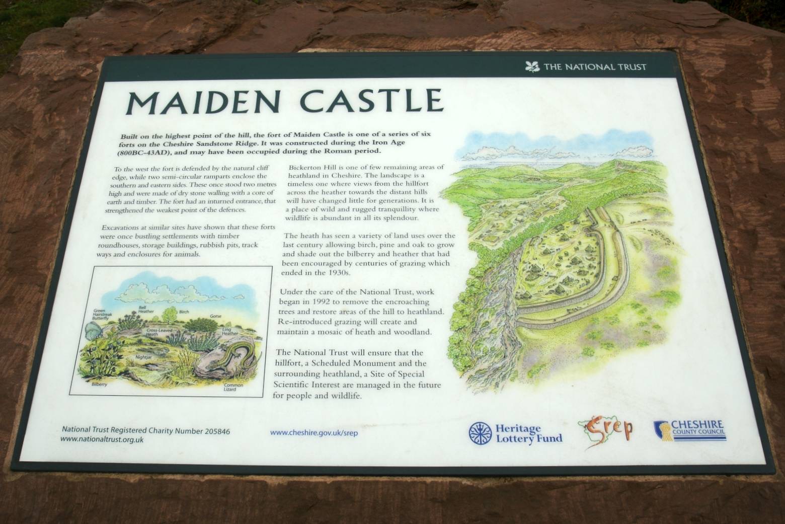
There's an information sign at this point too which gives further details of the area and an illustration of how the area might have looked.
Approximate GPS co-ordinate: 53.07018, -2.751897
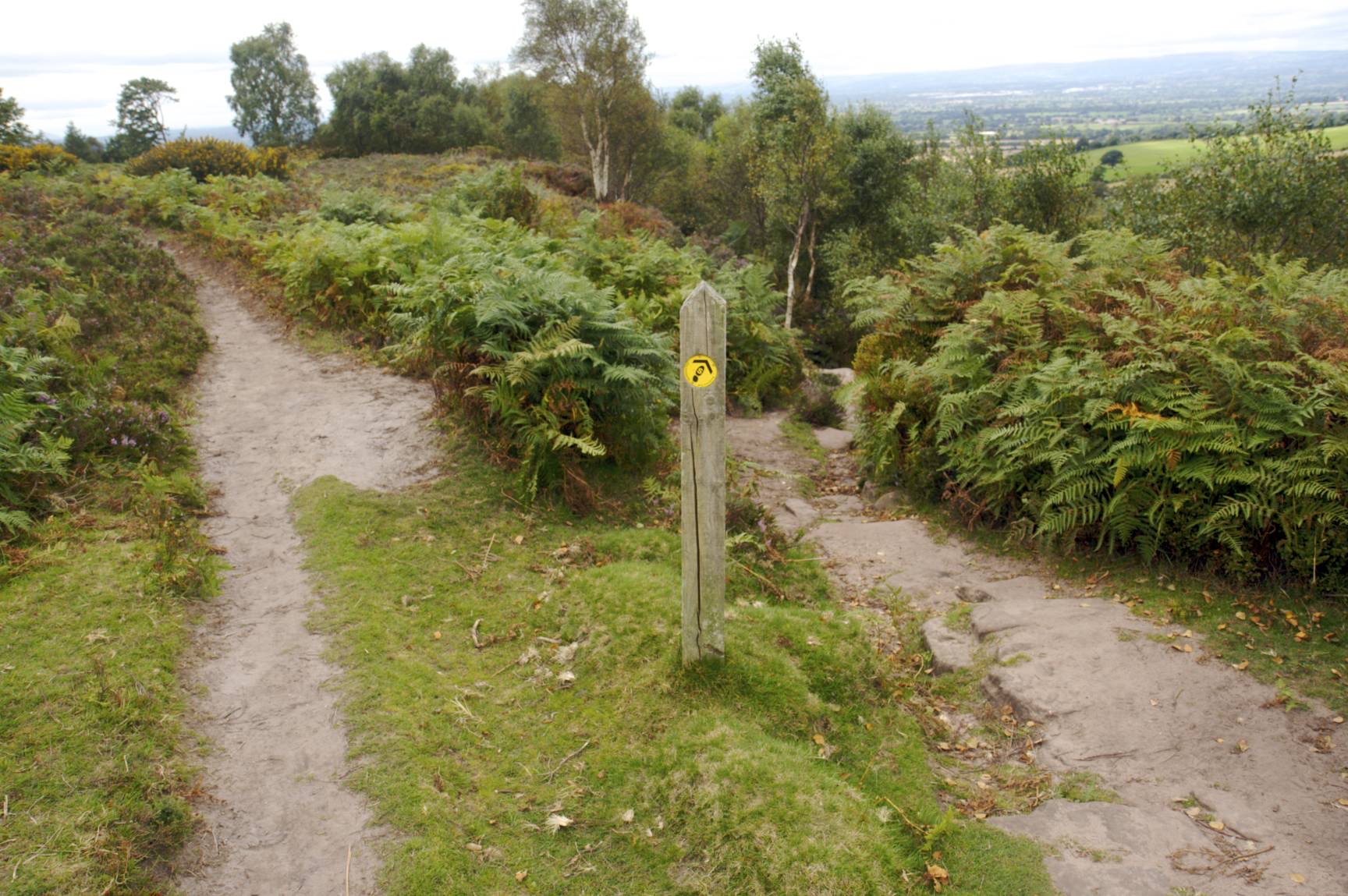
There are three possible footpaths to take from this point. This walk continues by following the Sandstone Trail sign to the west down the narrower stone path.
Approximate GPS co-ordinate: 53.06988, -2.752457
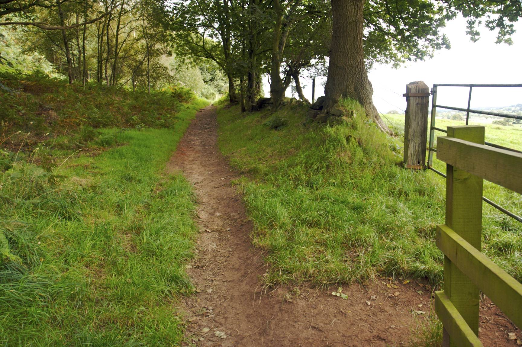
Then bear to the right down the hill where the path splits. At this point there are more sandstone steps which are less defined than the previous ones. This section could be slippery when wet so take care. The path continues into the trees.
Approximate GPS co-ordinate: 53.069632, -2.754435
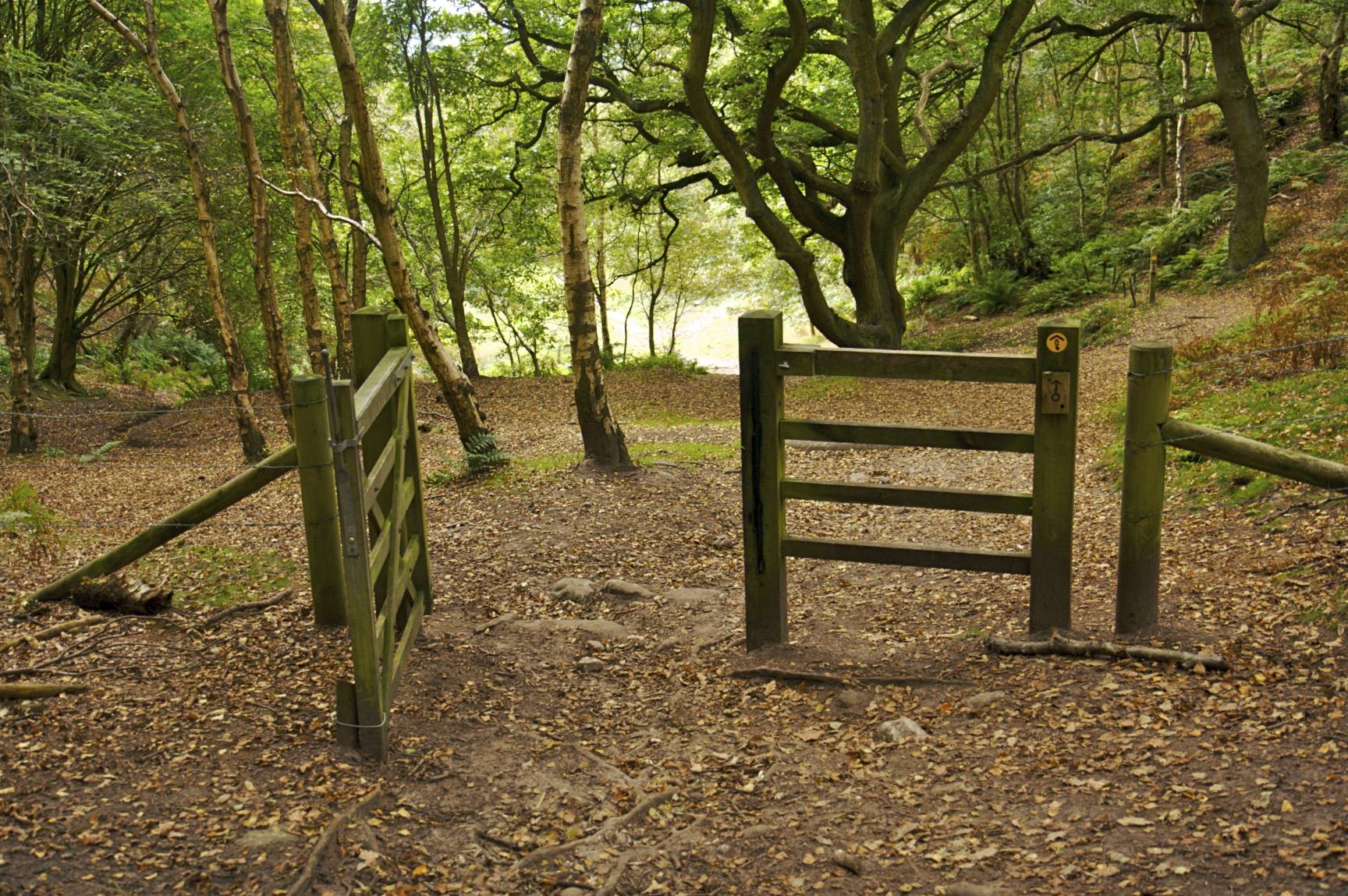
At the bottom of the hill there's a further signpost. Turn left down the hill.
Approximate GPS co-ordinate: 53.06931, -2.754937
Pass through the gate and then follow the path to the right of the stone wall down the hill. At the bottom is a Sandstone Trail information sign and a signpost directing you to the left. The path then takes a sharp left and right which isn't particularly obvious, but then becomes a well defined path. Continue around the base of Larkton hill which will be on the left. To the right you'll see views over the countryside of Cheshire and Shropshire.
Approximate GPS co-ordinate: 53.064133, -2.747237
The Sandstone Trail then breaks off across fields to the south.
Approximate GPS co-ordinate: 53.064138, -2.74723
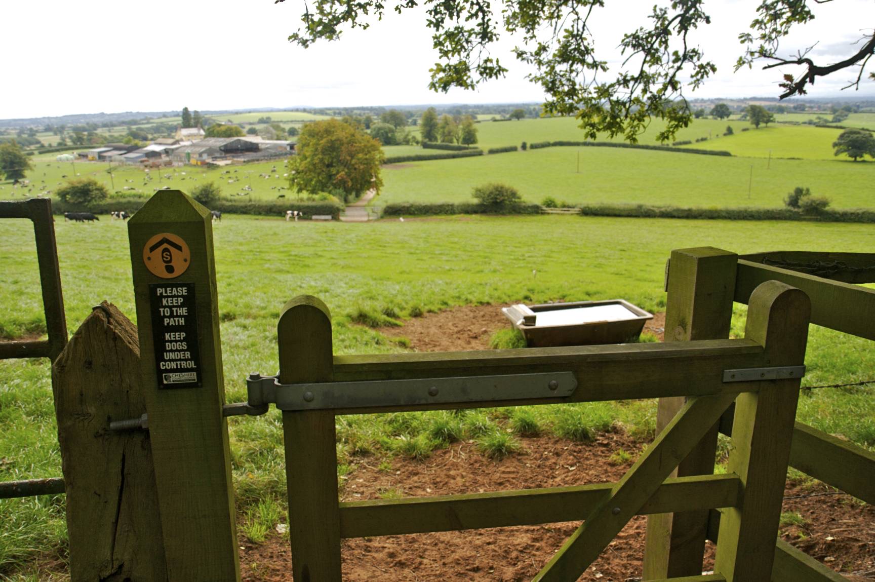
Do not however go through the gate as this walk takes the footpath straight on to continue to follow the base of the hill.
Approximate GPS co-ordinate: 53.06505, -2.74534
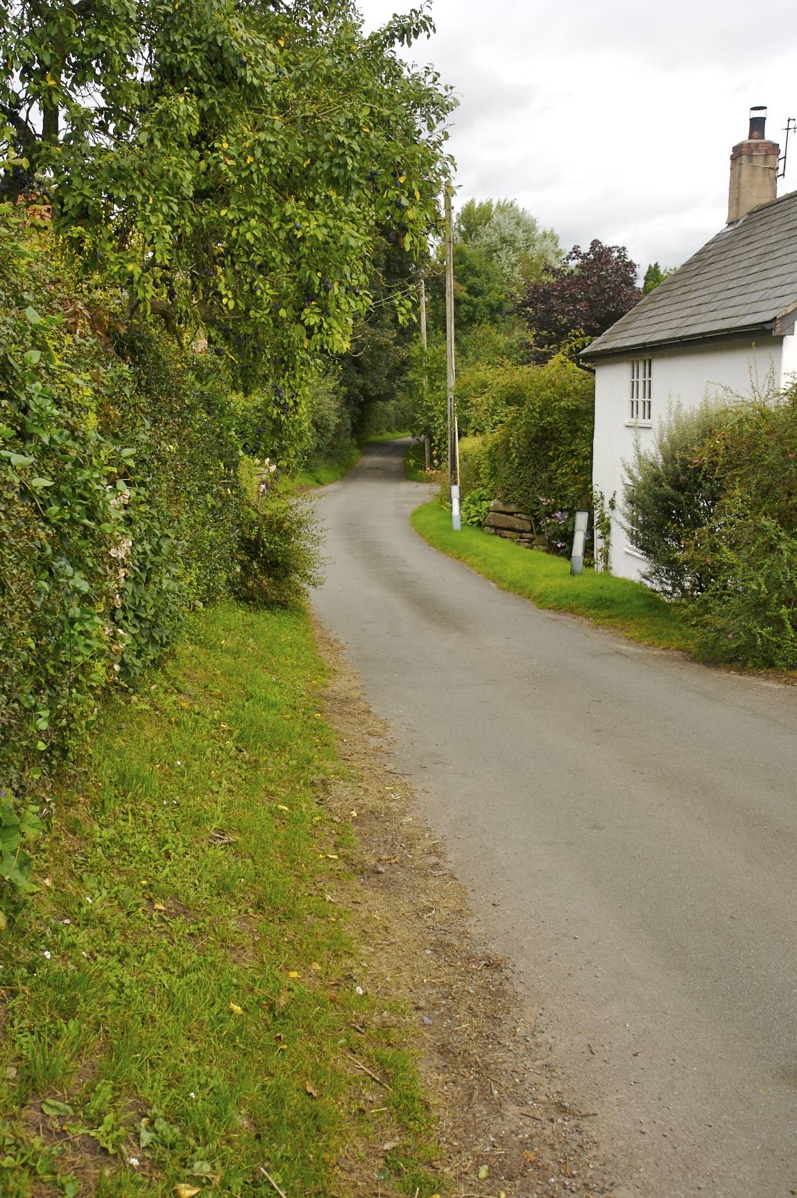
When you see the path split, take the right hand branch following the stone wall around to the right. You'll come to a gate leaving the trees and on to a short lane leading to a country road.
Approximate GPS co-ordinate: 53.06559, -2.743568
Turn left and follow the road. Be careful of traffic as parts of it can be narrow, although there is a grass verge for most of it.
Approximate GPS co-ordinate: 53.07, -2.740653
After a short while you'll come across the pond near the car park.
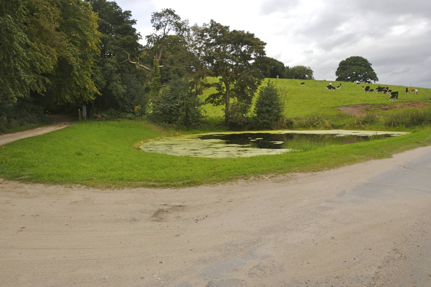
Approximate GPS co-ordinate: 53.070262, -2.740872
Walk up the sandy track that you drove along earlier and it will lead back to the car park.
 GrabYourBoots