This gentle stroll around Delamere Forest Park is suitable for the whole family and takes in beautiful woodlands and wildlife around Blakemere Moss.
| Start GPS coordinate | 53.229287, -2.67654 |
| Approximate Length | 3 miles |
| Approximate Duration | 75 minutes |
| Grade | Easy |
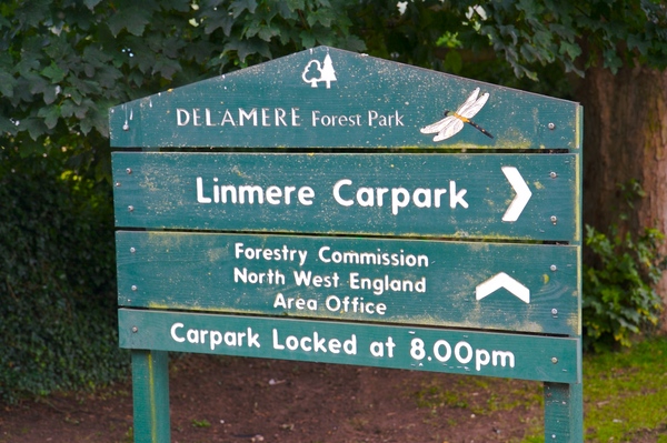
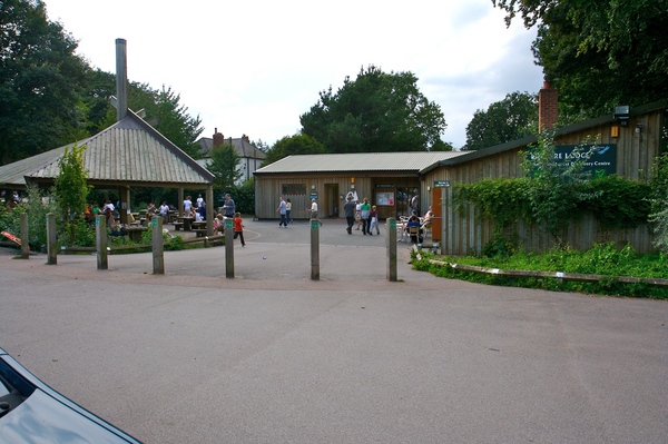
The information centre at Linmere Lodge is the start for this walk. There are several pay and display car parks nearby charging £2 each day and are open until 8pm. From the car park, follow the road back towards Delamere Station taking care as the road can be quite busy during peak times with both cars and cyclists. In fact, as an alternative to walking, this route is also suitable for the rental bikes which are available.
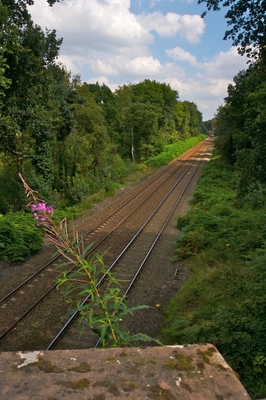
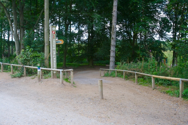
On coming to the wooden signpost for "Forest Trails", turn left over the bridge crossing the railway line.
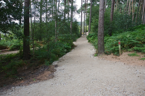
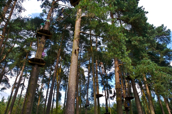
Turn right a short while further on at the signpost for the red trail, leading off into the forest. This is also the way to "Go Ape" which they describe as a "high wire forest adventure course of rope bridges, tarzan swings and zip slides up to 40 feet up in the trees". The course is above the footpath as you'll see as you keep walking.
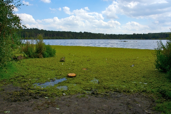
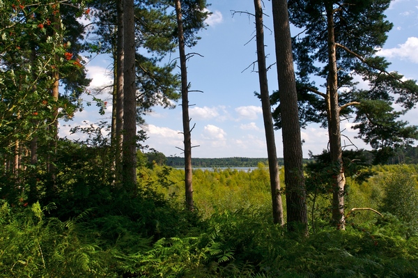
Keep following the red path to the right as the next main path joins (location post 16). The Blakemere Moss wetland can be seen on the left through the trees along with geese, ducks and other birds resting on the plant life growing in it. The whole area was a threatened habitat and in 1996 a restoration project was begun which transformed two water filled areas to what is there today when the area was intentionally flooded in 1998. A sluice controls the water level throughout the year.
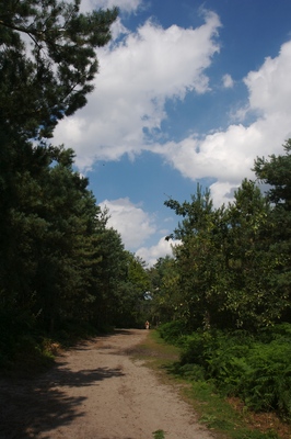
Keep following both the red posts and the edge of the water along the path. At location point 24 the red path leads up the slight hill into the forest. Either follow the red posts, or follow the track round to the left keeping with the edge of the water.
A clear view of Blakemere Moss can soon be seen. Be careful of the water 's edge as the algae and mosses floating on the surface can look like land and be an unpleasant surprise.
At the next junction, take the cutting between the trees heading away from the water. Take the path to the left which rejoins the red route through the trees and back into the forest. The path is actually fairly parallel with the one following the water's edge. Keep following the path round to the left wherever there are any tracks leading off.
On leaving the trees bear to the right.
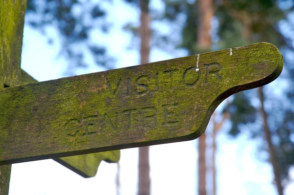
Between the trees and the occasional viewpoint, the views over the area are probably best from this side of the water. Keep heading straight on down the path until reaching a large signpost, the right hand arm pointing towards the visitor centre. Keeping left, the path eventually turns into the green route.
Again follow the sign for the visitor centre heading into the trees.
The path goes underneath the "Go Ape" course giving a better view of the zip slides, suspended nets and tree-to-tree walkways. After passing the course, turn right which leads to the road where the red route started. Turn left onto the road, then right after crossing the railway bridge again.
Back at the visitor centre you'll find tourist information, facilities and a cafe selling welcome refreshments; on this occasion a tasty ice cream.
 GrabYourBoots