This walk starts by following the Sandstone Trail from Rock Lane near The Pheasant in Higher Burwardsley.
| Start GPS coordinate | 53.1033567, -2.7131983 |
| Approximate Length | 5 miles |
| Approximate Duration | 92 minutes |
| Grade | Easy |
Approximate GPS co-ordinate: 53.1053267, -2.70955
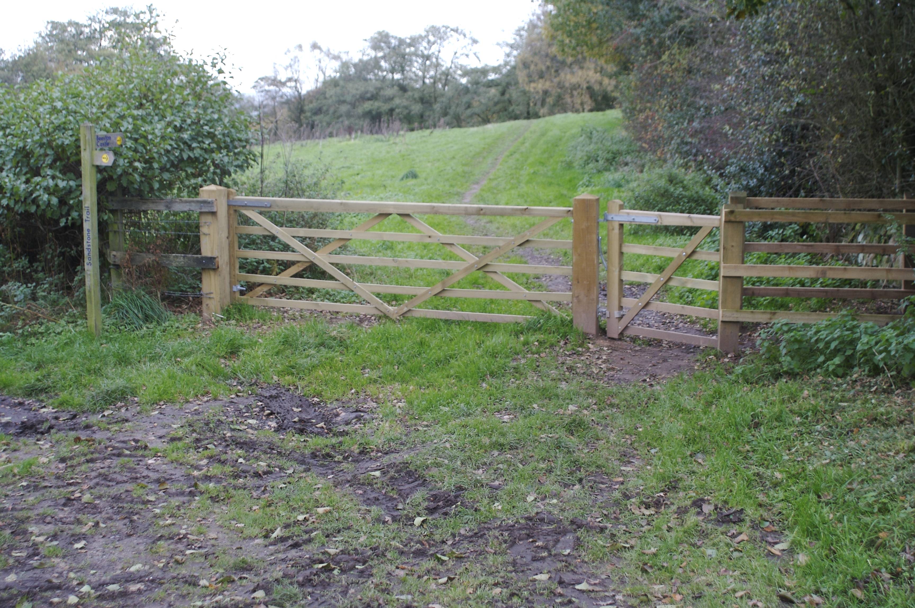
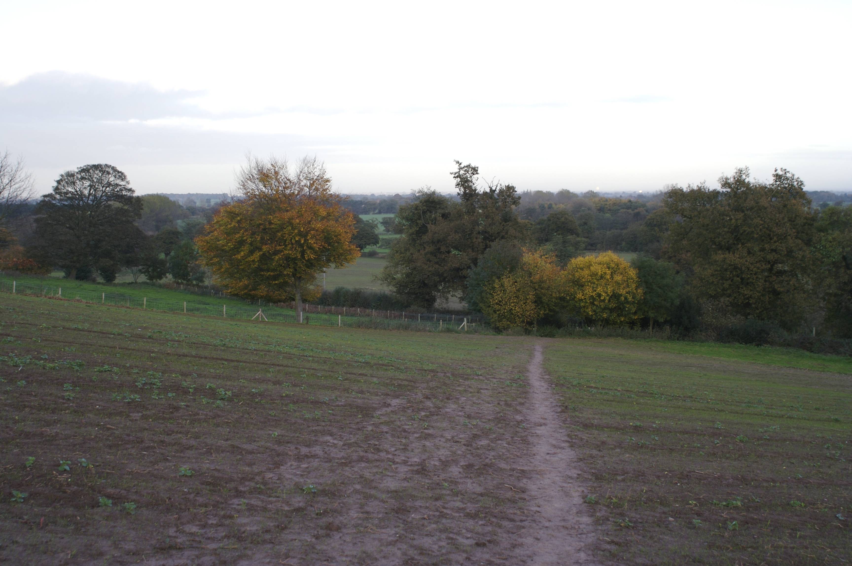
Start at the bottom of Rock Lane and head up the road keeping to the right where is branches off to the left. Towards the top of the hill you will come across a signpost SJ525565 - turn left following the route to Beeston Castle and again at the next one leading off across fields to the right.
Approximate GPS co-ordinate: 53.1202933, -2.6985367
Continue along the path and down the slope - take care as this could be slippy when wet. At the bottom turn to the right and keep going straight on. There are plenty of pheasant and squirrels around during November. Another signpost will come into sight - again follow Beeston Castle. After a while the route then exits the forest and turns right onto a country road.
Approximate GPS co-ordinate: 53.1198533, -2.6957617
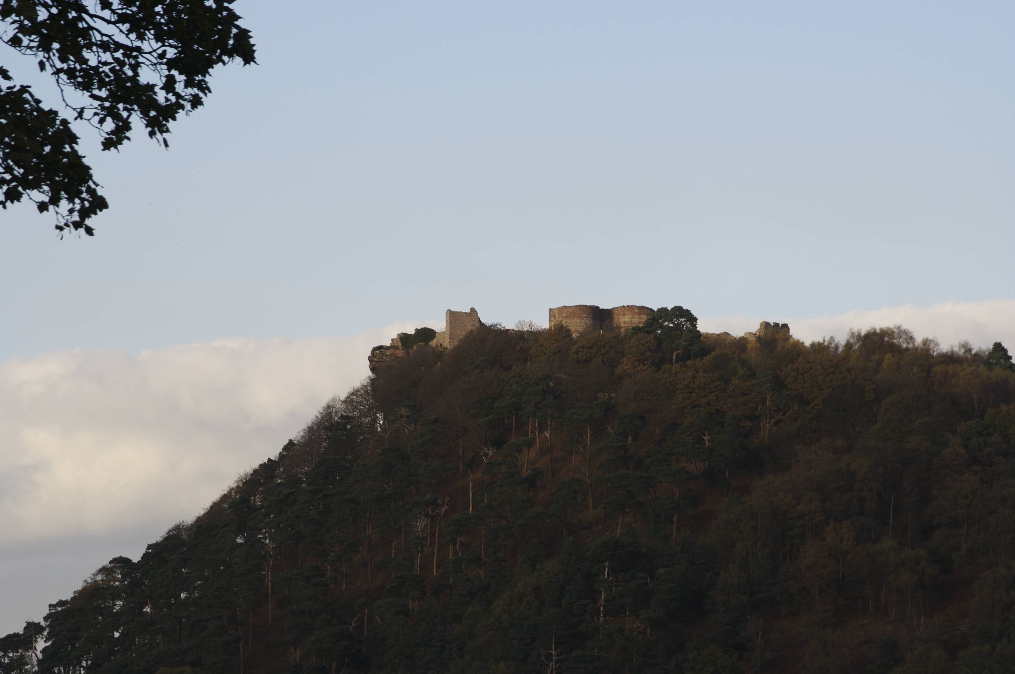
Beeston Castle will be on your left as you keep walking.
Approximate GPS co-ordinate: 53.1134117, -2.6913917
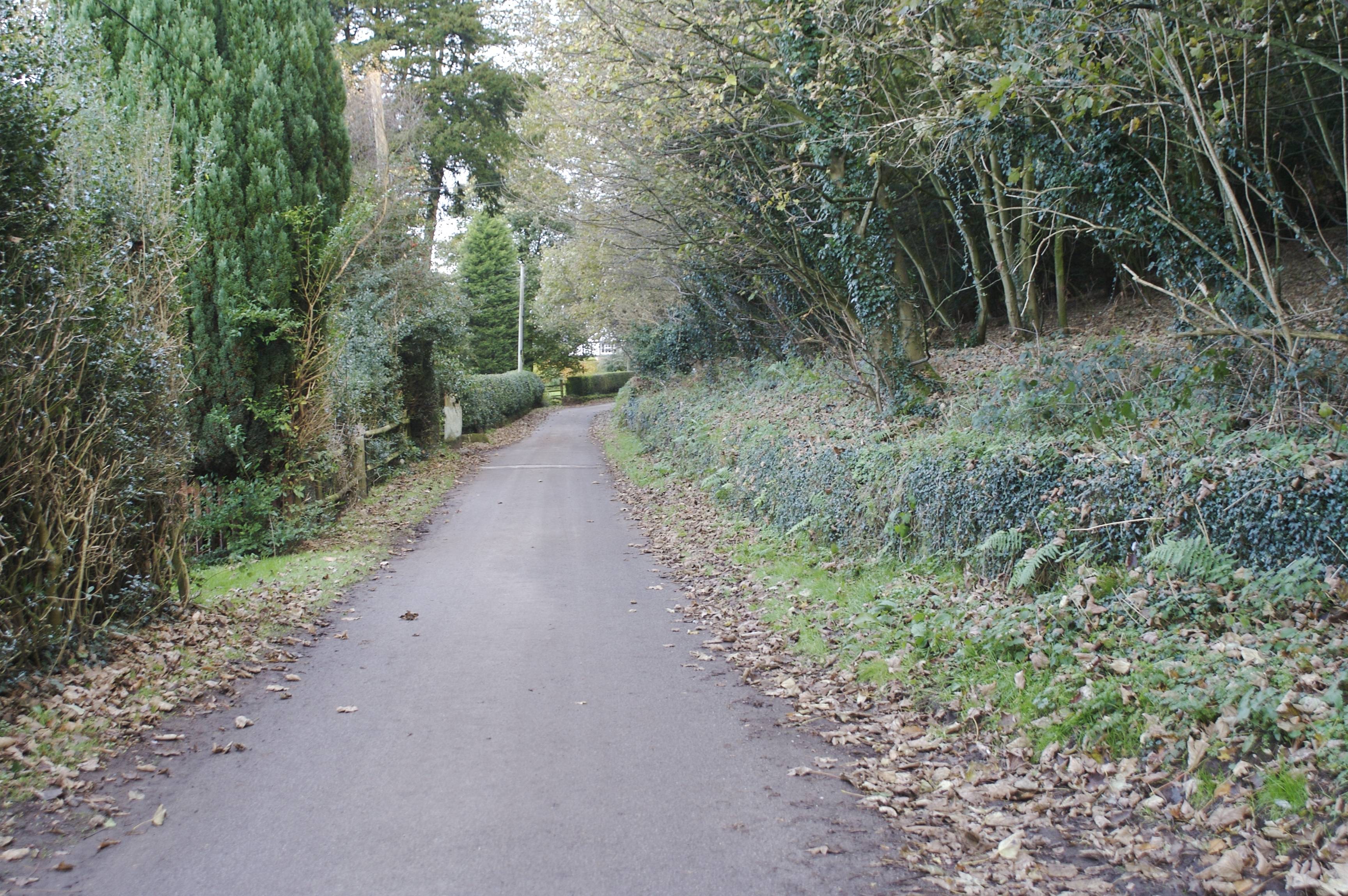
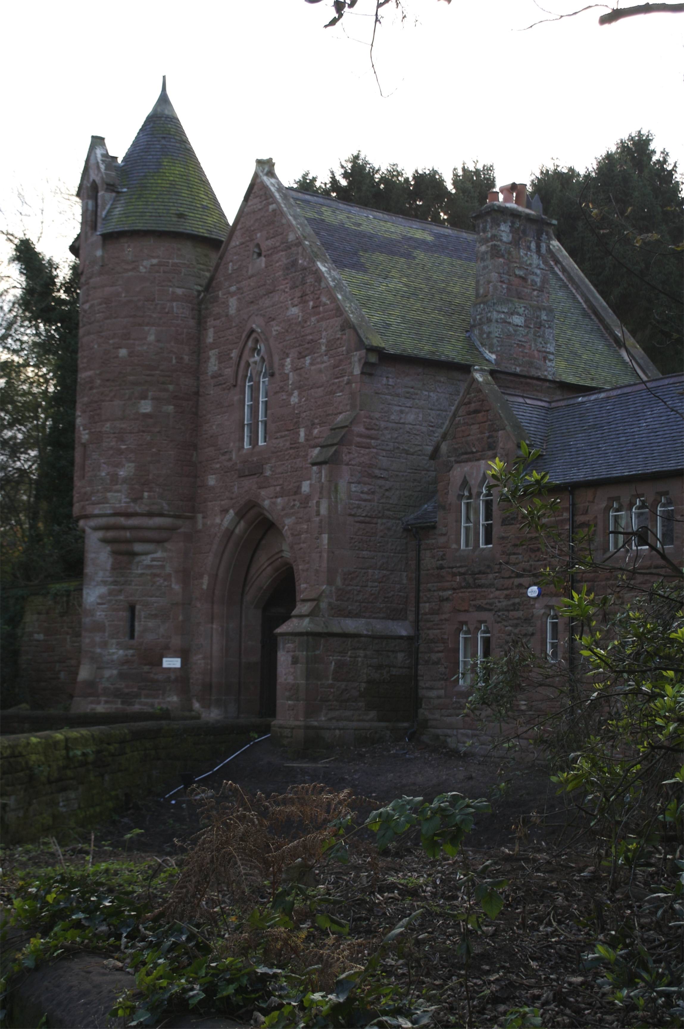
Continue along the road - do not turn left at the next footpath sign (towards Beeston Castle) - instead follow the road straight on and then to the right where the roads join SJ538581. After a while you see the Peckforton Castle gatehouse.
Approximate GPS co-ordinate: 53.1081967, -2.6925033
After passing the gatehouse the road narrows so take care. Keep a look out on the right for some steps and a footpath sign (you will see a couple of houses ahead of you on the left when you need to turn) SJ538570. The path now diagonally crosses a field but the path is well trodden. If you look back when half way across you may see the Jodrell Bank radio telescope.
Approximate GPS co-ordinate: 53.104505, -2.7006117
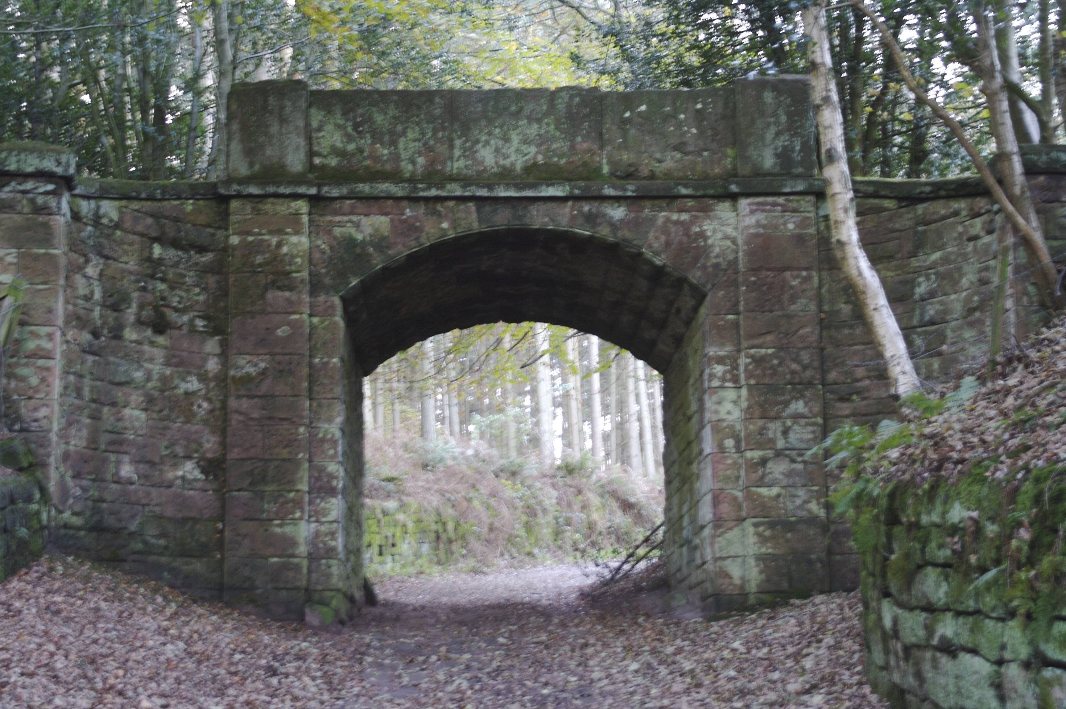
At the other side of the field keep following the footpath signs up the hill, then under the stone bridge. This path keeps going in a straight line, until you pass the tuning at the first signpost. Then just follow the road down the hill back to the start.
 GrabYourBoots