Starting near the small village of Ormathwaite close to Keswick in the Lake District, this walk takes the tourist route to the summit of Skiddaw.
Start: NY280253
Length: 7.0 miles
Duration: 4.0 hours
Grade: Moderate
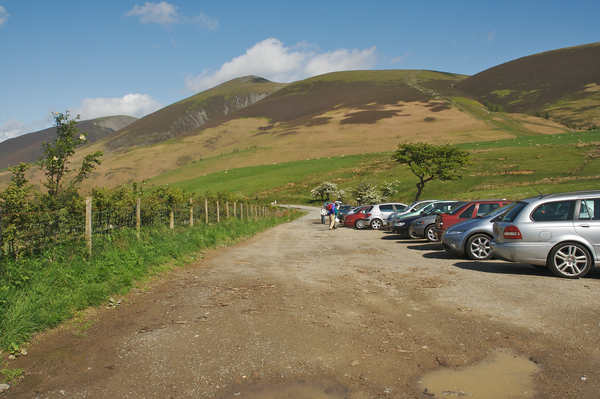
This walk starts in the car park at the bottom of the tourist path. The spaces here seem to fill up quite quickly on a nice day, so finding a space earlier on in the day is probably easier.
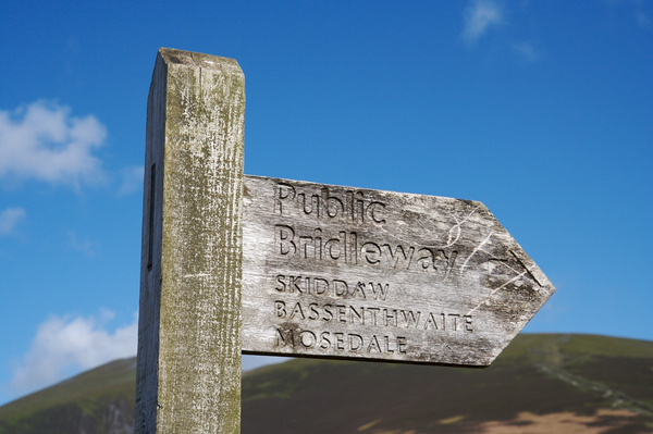
Look for the wooden public bridleway signpost on the other side of the gate.
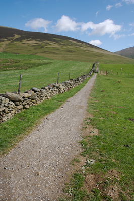
Then follow the path along the side of the stone wall.
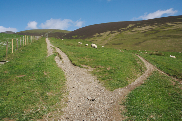
The path will then divide into two. Keep left and follow it along the fence as it starts to climb the hill.
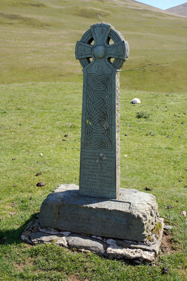
In a little while there's a monument to the right of the track. The words on this read "In loving memory of two Skiddaw shepherds Edward Hawell, of Lonscale, born October 21st 1815, died June 2nd 1889. And his son Joseph Hawell of Lonscale, born December 24th 1854, died February 20th 1891. Noted breeders of prize Herdwick sheep".
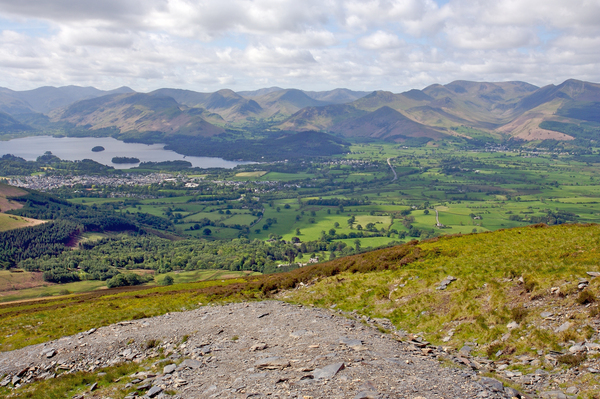
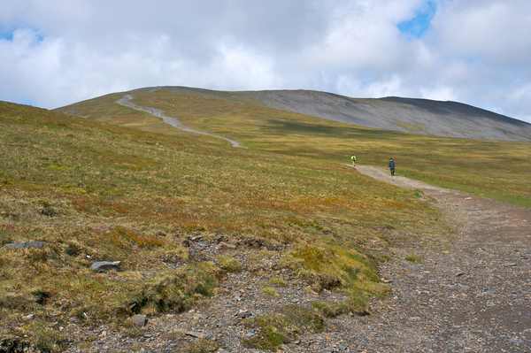
The path continues on upwards, getting steeper but with great views overlooking Keswick and Derwent Water.
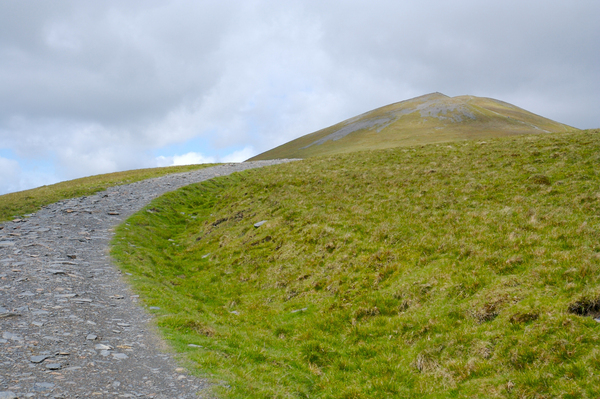
As the path starts to level out, what appears to be the summit comes into view. However, this is actually Little Man, and the Skiddaw summit cannot yet be seen.
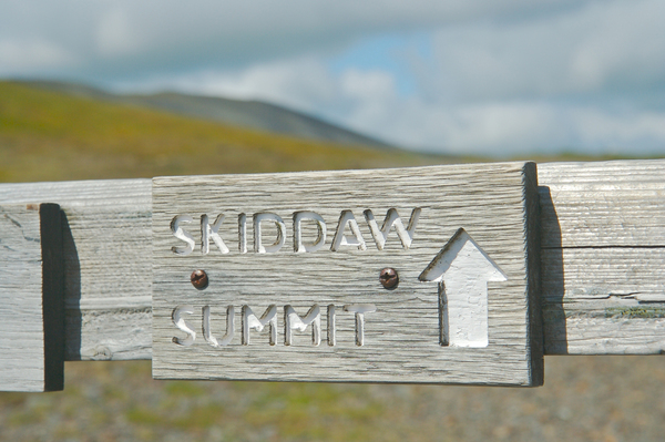
There are then two options to take. Either follow the Skiddaw summit sign onwards, or go via Little Man which will take longer and involve an earlier climb, but rejoins the main path further on.
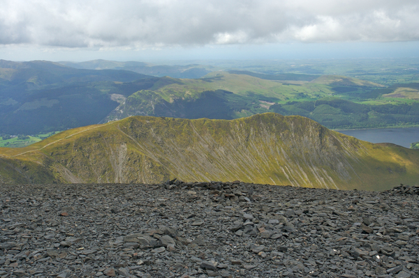
After a short while the summit can be seen (the dark area to the right of the photograph).
At the summit there's a triangulation point and a dial pointing to the various mountains in the area. The weather at the top can be very different from the walk up - the wind can be unimaginably strong, and there are a few stone shelters which although on first sight don't look as though they will do much, actually work and can make an ideal place to stop for a bite to eat before retracing your steps back to the car park.
 GrabYourBoots