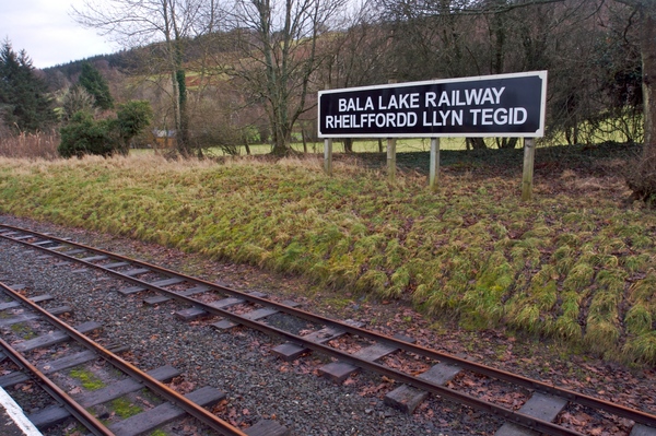
The now disused railway station at Bala is the start for this walk. It's a reasonably gentle walk along country lanes and then across fields along the side of Bala Lake.
| Start GPS coordinate | 52.901992, -3.593783 |
| Approximate Length | 5.19 miles |
| Approximate Duration | 120 minutes |
| Grade | Moderate |
Approximate GPS co-ordinate: 52.90176, -3.593713
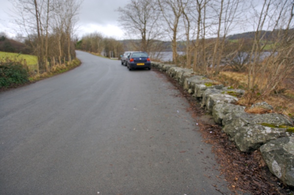
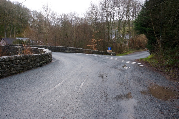
To the eastern end of Bala Lake the B4391 crosses the water and arrives at the now disused Bala railway station. Opposite the station is space to park along the road. From the start, head east and back to the B4391 with the railway station on your right. On reaching the T junction turn right.
Approximate GPS co-ordinate: 52.902062, -3.591497
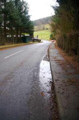
Follow the road as it climbs the hill and bends round to the left.
Approximate GPS co-ordinate: 52.902005, -3.585345
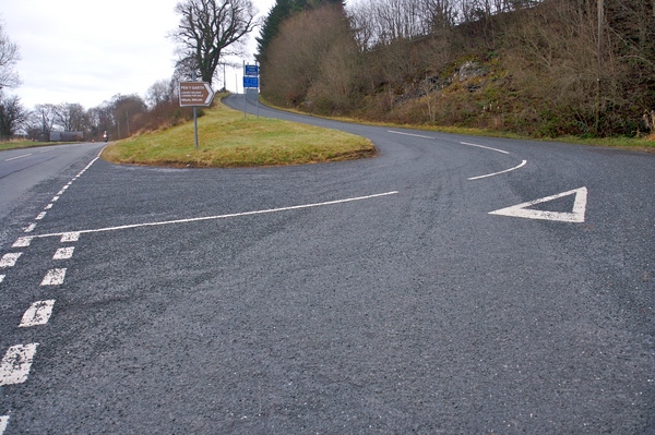
After a short while you'll come across a T junction to the right. Take this turn and follow the road up the hill.
Approximate GPS co-ordinate: 52.90106, -3.575913
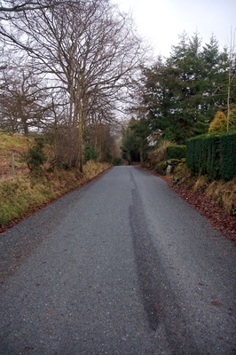
There's no pavement here so take care of any traffic. The road continues with a few bends and junctions, but just keep straight on.
Approximate GPS co-ordinate: 52.898747, -3.572002
On reaching a bridge on a bend in the road, take the right hand turning (i.e. do not cross the river).
Approximate GPS co-ordinate: 52.895412, -3.572225
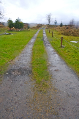
Continue straight on up the hill. The road turns in to more of a track and there's a gate across the road which you will need to open. Make sure it's closed behind you so as not to let any sheep escape.

Approximate GPS co-ordinate: 52.887318, -3.58562
You will eventually see a footpath sign leading off to the right and a wooden stile crossing a stone wall.
Approximate GPS co-ordinate: 52.88835, -3.586863
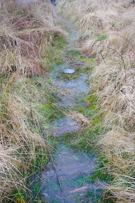
From this point on it can be quite wet during winter months so make sure you have waterproof boots with good grips. The path continues towards a house at the top of the hill. The footpath actually goes through the garden, so please be courteous and keep to the side and make sure any dogs are kept under control.
Approximate GPS co-ordinate: 52.88966, -3.590263
After passing the house, another track comes in to view. Turn left and follow it to the west.
Approximate GPS co-ordinate: 52.886827, -3.603172
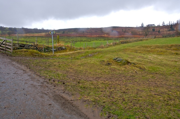
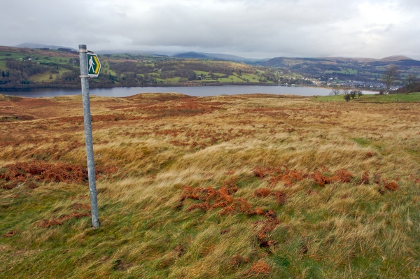
You will start to see Bala Lake. Continue along the track, crossing the cattle grid you will see. As the track bears to the right you will see a footpath sign leading off down the hill to the right. The path is reasonably visible and heads diagonally across the field. At one point if it's been raining heavily the path can actually become flooded so take extra care here. You will start to go downhill a little more steeply too.
Approximate GPS co-ordinate: 52.890513, -3.603892
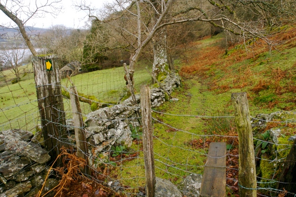
At the next stile, cross it and follow the signs along the stone walls.
Approximate GPS co-ordinate: 52.895882, -3.598432
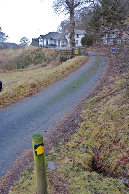
The next road that you will reach leads to the Bala Lake Hotel. The footpath sign is a little confusing but should actually points towards the hotel. Follow the signs to the car park passing straight through the hotel complex and out through the other side.
Approximate GPS co-ordinate: 52.901675, -3.589835
You will eventually reach the road where you were earlier. Turn left and then the next left where you will see the start.

Approximate GPS co-ordinate: 52.901473, -3.593012
As a point of interest you may also like to have a quick look at the railway station platform and tracks.
 GrabYourBoots