A pleasant walk starting at Dyserth Waterfall near Prestatyn, then walking up the National Trust owned Graig Fawr to the view point at the top.
Start: SJ056792
Length: 3.5 miles
Duration: 2.0 hours
Grade: Moderate
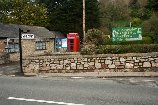
A small free car park is located next to the waterfall. Leave the car park and turn left towards the small cafe slightly further on up the road. Pass through the gate where you'll see a money box in the wall to the right. Entrance costs 30p per person (at the time of writing).
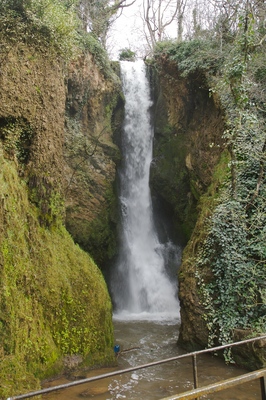
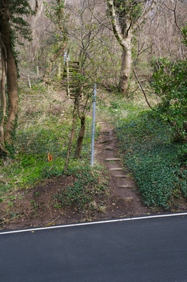
The main part of the waterfall is hidden by a wall of rock, but then comes in to full view. If it's a windy day then the spray at this part can be a little wet. Continue on the path, up the steps and up to the top of the hill where you will see a bench for the viewpoint. Just past the bench is a footpath sign.
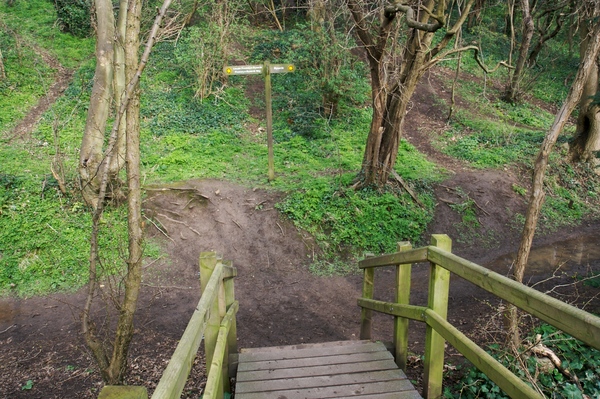
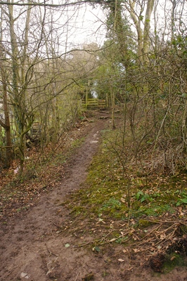
Go down the wooden steps and turn left. Follow the path, which can be a little muddy, and then over the first stile. There's another path joining from the right, but keep going straight on.
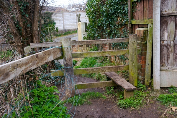
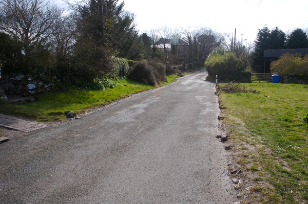
On the other side of the next stile is a road leading off up the hill. Turn right at this point and keep following the road.
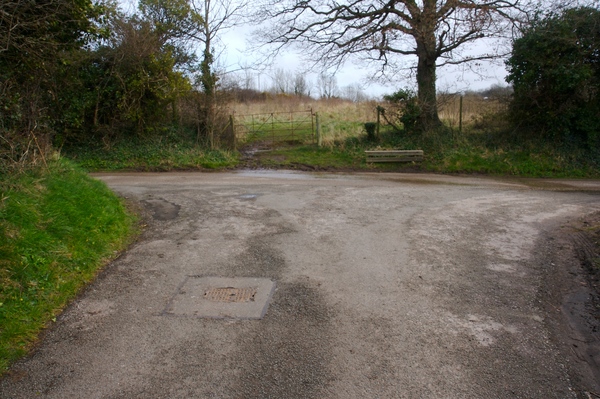
At the next T junction turn left.
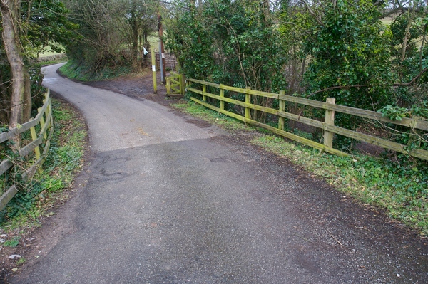
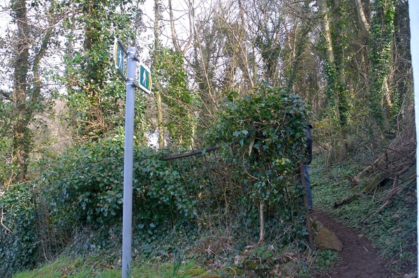
Shortly afterwards you will cross over a bridge. Just after this, on the right, is a gate which leads to a path.
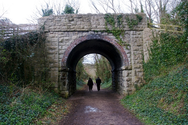
Go under the bridge and follow the path. This is part of the Clwydian Way, a circular long distance footpath, which is 122 miles in total.
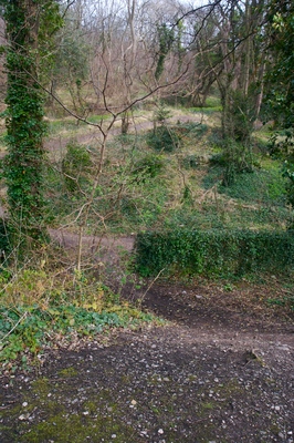
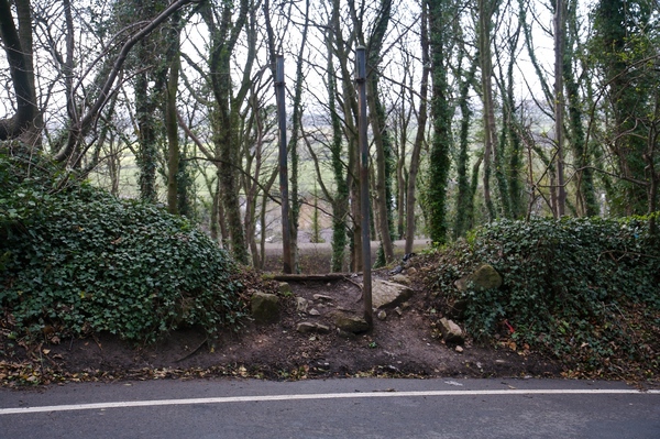
Just before you cross a second bridge, break away from the path and head up the hill. You should be able to see a National Trust sign in the distance which is where the walk continues.
Cross over the road and take the footpath on the other side. Climb over the next stile in to the open countryside area.
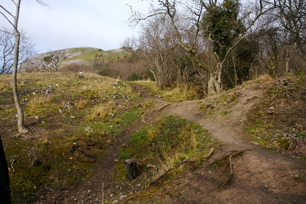
There seem to be quite a few paths leading up to the top of the hill. Whichever you take, keep heading up the mountain towards the summit.
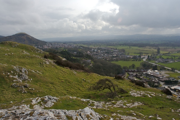
At the top is a triangulation point and views over Dyserth, Prestatyn and out over the sea towards the wind turbines not far away.
When you are ready, head down the mountain on the other side to that which you came up (as if you were heading towards the housing estate at the bottom). A path should come in to sight. Take care at this point as the steps are quite steep, and then the path can be a little muddy.
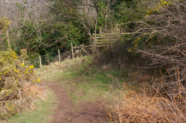
At the bottom of the steps you join another footpath. Turn right and go through the kissing gate. You will come out at a small road at the end of the path.
A few steps down the road is a footpath sign off to the right. Follow this until you come to another road.
Follow the road up the hill until you see a path leading off to the right. If you miss the path then keep following the road and turn right at the next junction instead.
The path cuts the corner of this and the next road.
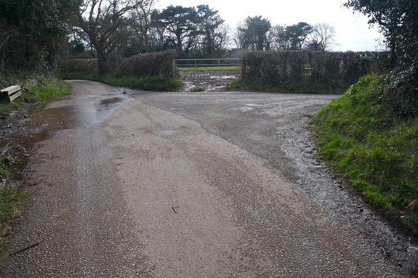
Turn right at the next road and carefully follow this until reaching the road crossing before you entered the open countryside area.
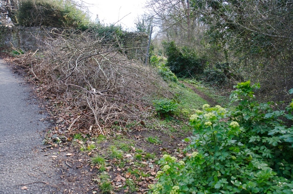
Leave the road and head back in to the woodland area, down the hill until you meet the Clwydian Way footpath you were on earlier. Turn left and follow the path until you see the bridge you went under, and take the steps on the left to cross over the bridge.
At the T junction just past the bridge turn left.
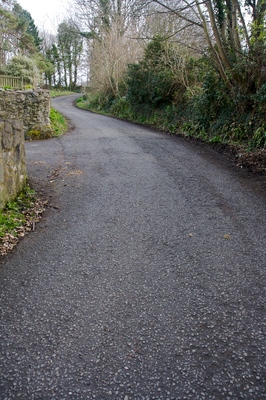
Follow the road down the hill until you come to the main road. Turn left and head back towards the car park.
 GrabYourBoots