A gentle starting walk from Grinshill, near Shrewsbury in North Shropshire, which becomes slightly more strenuous from Clive during the ascent of Grinshill Hill. The fantastic view from the top looks out over both Shropshire and towards Cheshire.
Start: SJ520236
Length: 2.5 miles
Duration: 1.25 hours
Grade: Moderate
The village hall in Grinshill has a small car park which is the start for this walk. From the car park, follow the track back to the road passing through Grinshill.
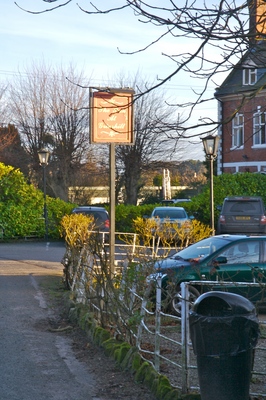
You will most likely be able to see the sign for the Inn public house which is ideally located for a well deserved drink after the walk.
However, for now, you should follow the road heading away from the pub in a westerly direction.
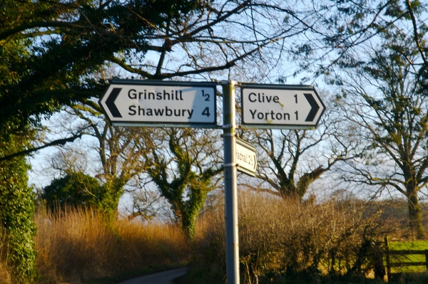
The direction that you will be heading should be towards the village of Clive.
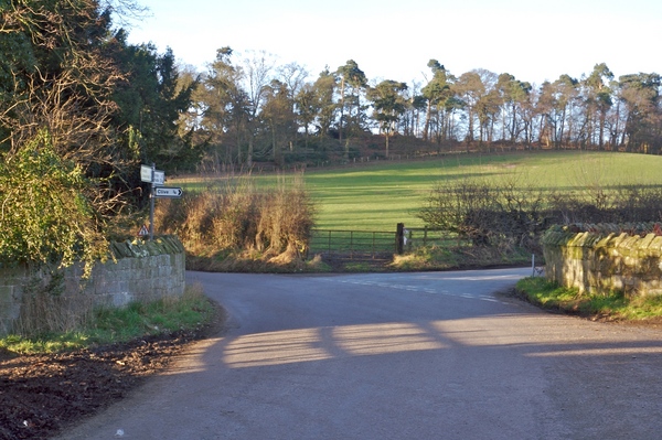
Again, follow the sign for Clive.
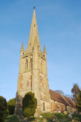
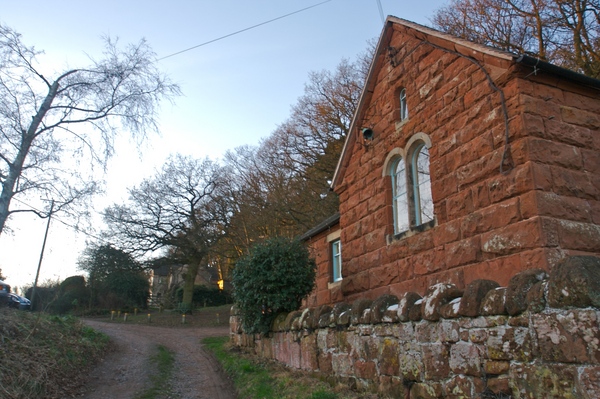
The village church will come in to view as you climb the hill. At this point, you could take the track which leads past the side of the church entrance, or have a look around the graveyard and then take the steps which lead up the hill. Either route should be followed until you pass the school buildings on your left.
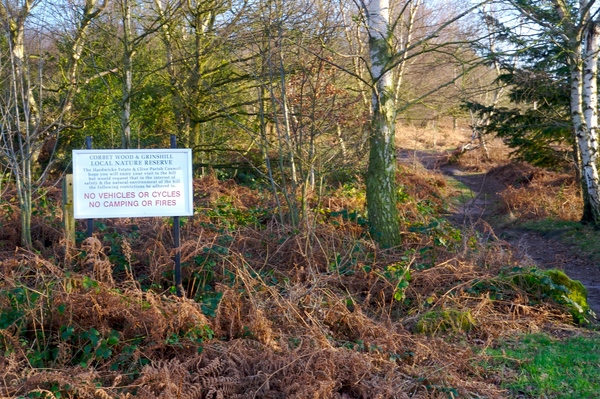
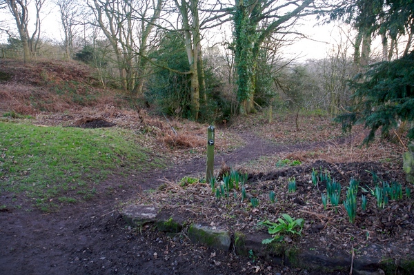
After the school is a sign for "Corbet Wood & Grinshill local nature reserve". Take the path to the right of the sign.
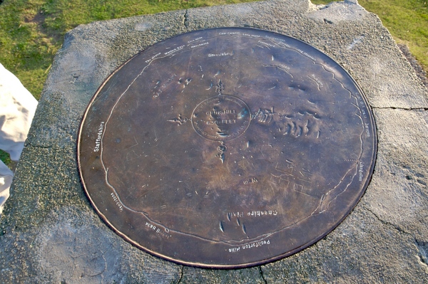
You will start to see the top of the hill coming in to view with a dial indicating the direction of points of interest, such as RAF Shawbury, the Cheshire Plain and other walking areas like the Wrekin, Long Mynd and Berwyns in the distance.
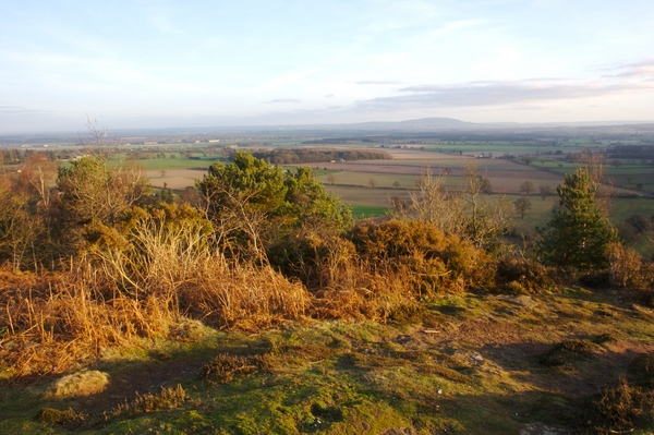
On a clear day the views are excellent.
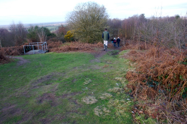
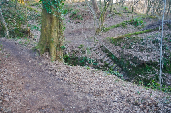
The route down is on the other side of the hill. To the right of the path which led to the top of the hill is another track heading north.
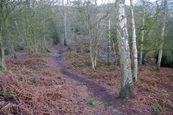
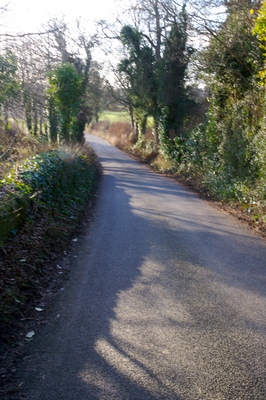
Follow the path through the forest, taking care as some parts could be slippy if it's been wet.
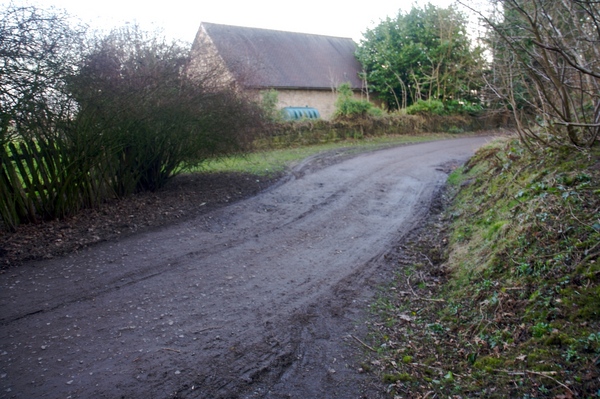
Eventually you will come to a road at the edge of the nature reserve. Turn right.
After the bend is a signpost indicating the Shropshire Way. Turn right and follow the path down the hill.
This leads to quite a large cutting in the sandstone and is an interesting area to wander around, particularly towards the end of the day when the setting sun can shine through the trees and the leaves catch the rays.
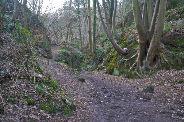
Continue down the hill, walking through the cutting and past the steps on the left.
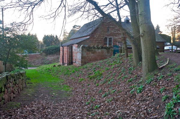
In a short while you will see the village hall once again and know that a well earned drink at the Inn is just around the corner.
 GrabYourBoots