A reasonably flat and varied walk around two lakes.
Start: SH966547
Length: 11.0 miles
Duration: 4.25 hours
Grade: Moderate
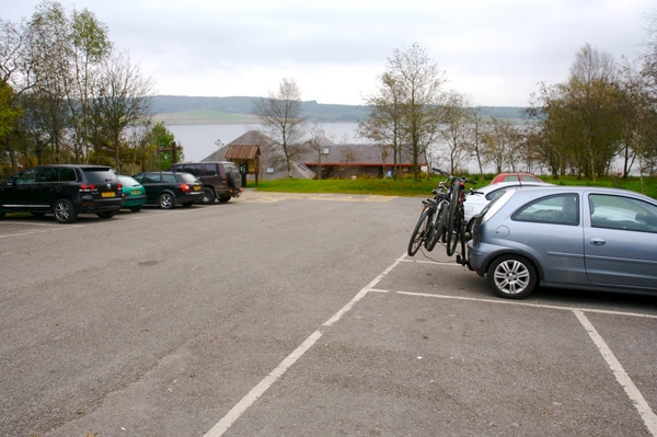
At the south western corner of Llyn Brenig is a visitor centre. This is open seasonally and is the start for this walk. The car park is pay and display, but at the time of writing (October 2007) costs only £1 per day. The centre has a cafe which is open from 10am until 4pm during the week, and until 4:30pm at weekends. Again, this is at the time of writing so please check the times on the noticeboard.
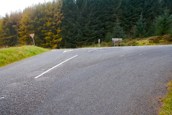
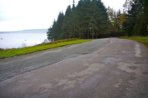
The road system around the area is a one way system. Walk back along the road that led to the car park and you'll reach the main road. Turn left to go down the hill. There is a grass verge to walk on, but be careful of traffic.
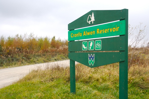
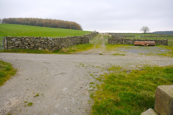
After a while you'll see a large green wooden sign for "Cronfa Alwen Reservoir". Turn down the track and follow the small guide posts at any branches in the road.
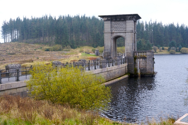
The reservoir dam will come in to view. This was constructed between 1909 and 1921 to supply the people of Birkenhead. Today it supplies 5 million gallons of water to north-east Wales. Cross over the dam to the other side.
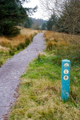
You will see a sign post taking you off to the right. This stage of the walk takes you along part of the Alwen Trail heading north-west following the bank of the reservoir. As parts of the trail are higher than others, you get a good view back over the dam.
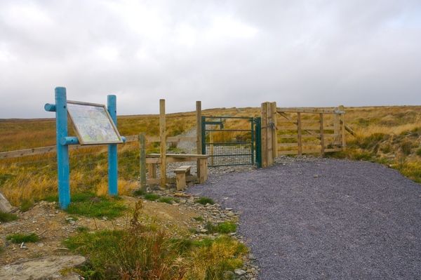
The path is well maintained and sign posted along the way. There are also information boards about the area. There's one picnic bench on this side of the reservoir, so makes a good stop for a picnic.
The forest area is then left behind and the trail leads across open moorland which is quite exposed, so make sure you have warm clothing if it's not a particularly pleasant day.
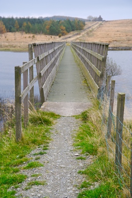
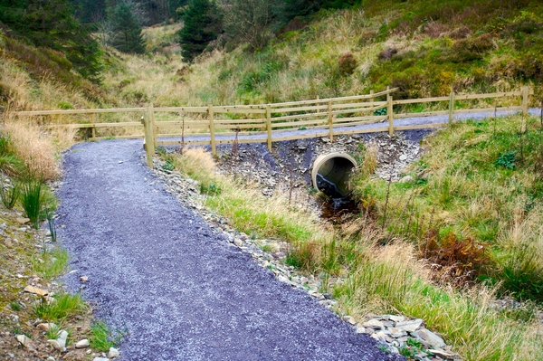
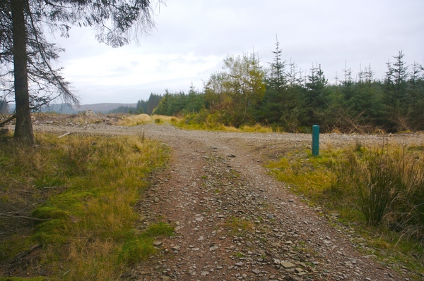
Eventually you will reach a bridge crossing the northern end of the reservoir. This is visible for quite a while beforehand and does seem to take forever to reach. Although it's wooden in construction, it's very sturdy and feels safe. Once over the bridge, follow the track up the hill and continue in a straight line at any junctions. The signs turn into bridleways for this part, but you are permitted to walk along them.
Keep walking in a straight line. Some fields may have sheep in them so take care not to disturb them. Dogs should be kept on a lead and under control. The path crosses the Hafod Elwy National Nature Reserve and then passes through a gate into a small forest area.
Again, keep walking in a straight line and you will come to the main road running through the area.
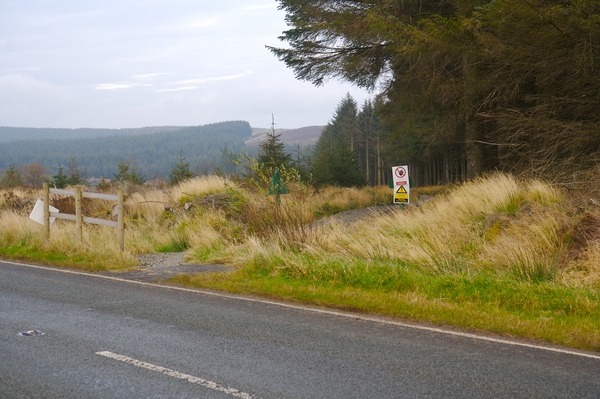
At this point, you can either cross the road and follow the path along the reservoir, or, as was done on this walk, turn right and follow the road to the south. Walking along the road is shorter and there is a grass verge to walk on, but as before, do take care of traffic.
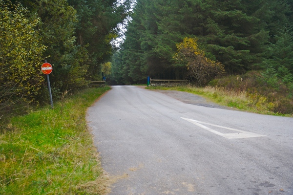
There are a few tracks off the road to the left. The one you want leads into a forest and has a no entry sign at the side. Head down the road and follow the bend to the left. Then at the T-junction, turn right. There is a track just before the left-hand bend which leads off to the right, however, as was found on this walk, that is currently a dead end and if you go that way, you will have to cut through the forest to join the lake-side road.
Continue along the road past the sailing club and you will reach the car park back at the visitor centre. It's worth noting that the car park is closed at the end of the day, so check the time on the noticeboard before you set off.
 GrabYourBoots