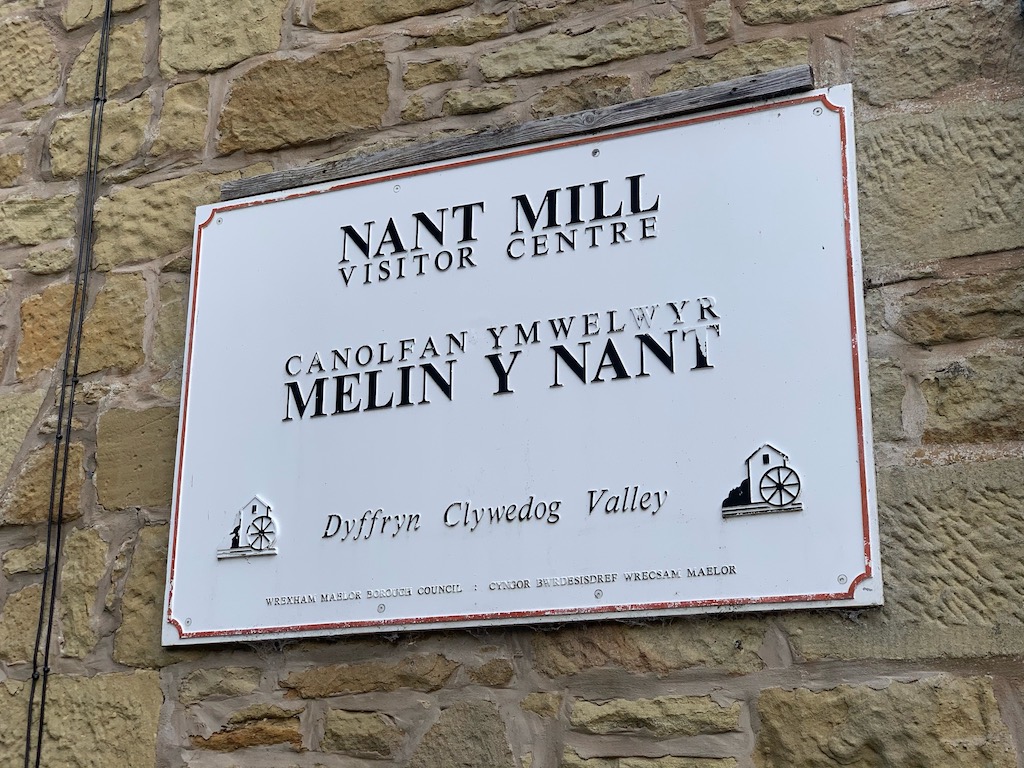
This woodland walk starting at the Nant Mill visitor centre follows the river Clywedog upstream.
| Start GPS coordinate | 53.04322875987281, -3.0611181907364564 |
| Approximate Length | 2.31 miles |
| Approximate Duration | 61 minutes |
| Grade | Easy |
Approximate GPS co-ordinate: 53.04333745650505, -3.0611270850081294
At Nant Mill visitor centre there is a pay and display car park.
Approximate GPS co-ordinate: 53.04333095720685, -3.0622671638912364
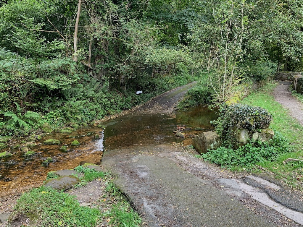
Walk to the ford where the road crosses the river and go upstream. Keep to the right and go past the playground where there's a bridge over the river. Turn right and follow Wood Cottage Lane up the hill.
Approximate GPS co-ordinate: 53.0438632181739, -3.0633028505723465
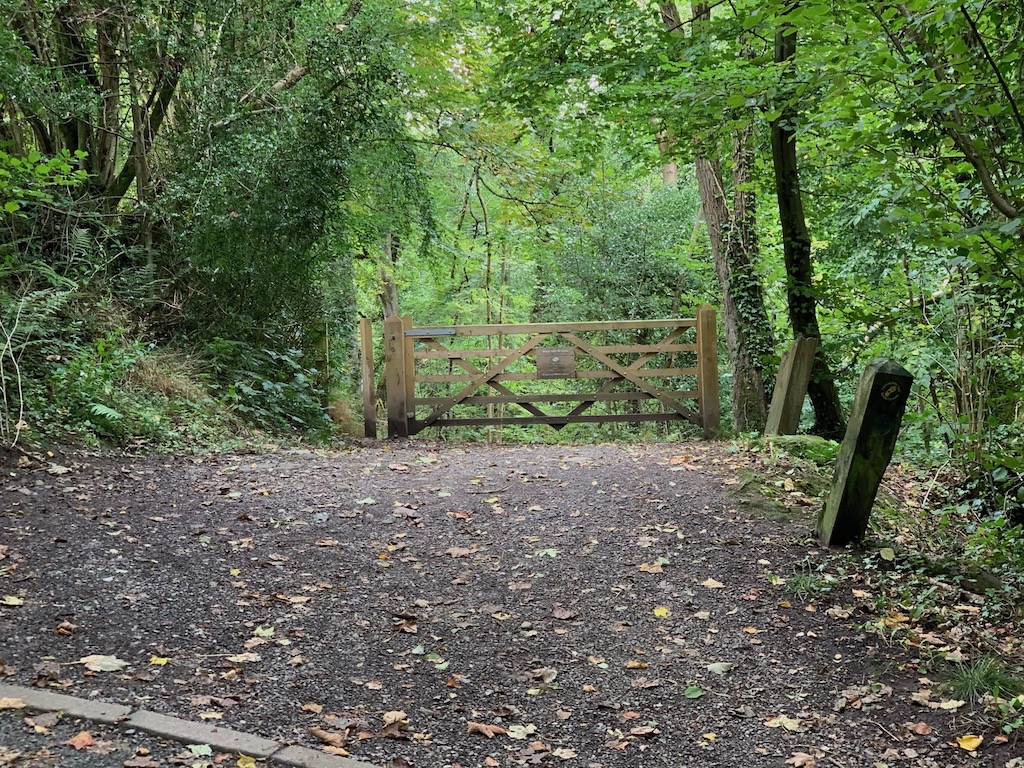
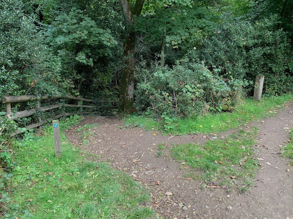
Go through the gate into Nant Mill Woods.
Approximate GPS co-ordinate: 53.04408068289147, -3.063768284970932
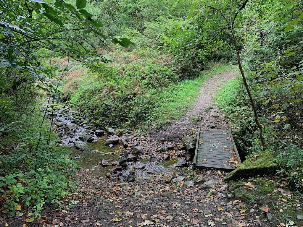
There are lots of streams joining the main river and small bridges crossing them.
Approximate GPS co-ordinate: 53.04477650930521, -3.0656209202784277
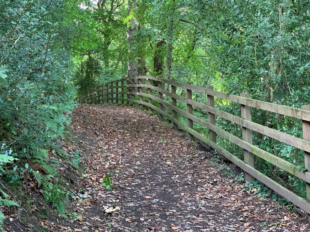
As the path climbs, the river is quite a way below.
Approximate GPS co-ordinate: 53.04506533824317, -3.06837997331857
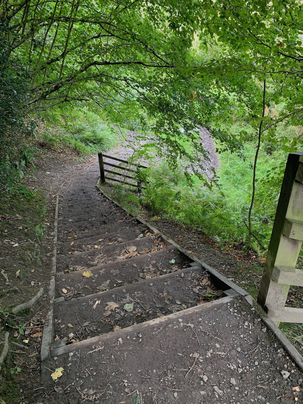
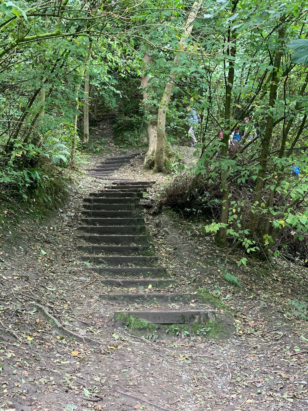
Go down the steps where it can be quite muddy when it’s been wet.
Approximate GPS co-ordinate: 53.04524856062908, -3.068664896385618
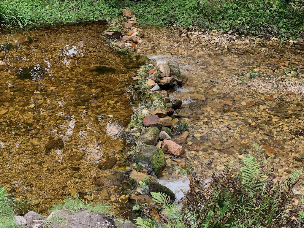
The orange colour of the river is probably from the nearby Minera Lead Mines which are in the upstream direction.
Approximate GPS co-ordinate: 53.046946096468076, -3.0711849624456002
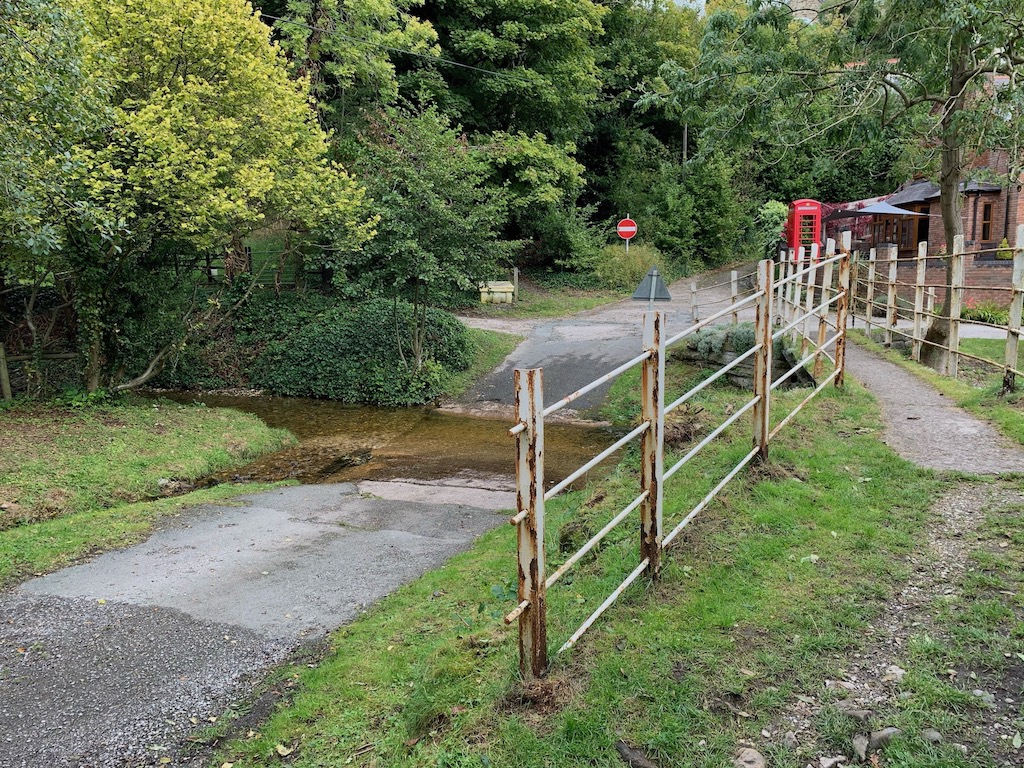
You'll then come to another ford, a bridge and a red phone box in a garden. There are paths either side of the river at this point or you can turn around and head back on the route you've taken.
Approximate GPS co-ordinate: 53.044577984096136, -3.064257428656326
Keep to the right and don't cross over the bridge.
Approximate GPS co-ordinate: 53.04397739135601, -3.063347674023951
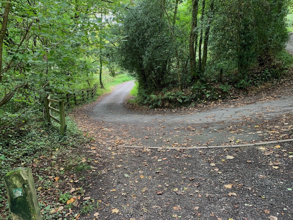
When you get to the road turn left and go down the hill.
Approximate GPS co-ordinate: 53.04346921881809, -3.061886602965592
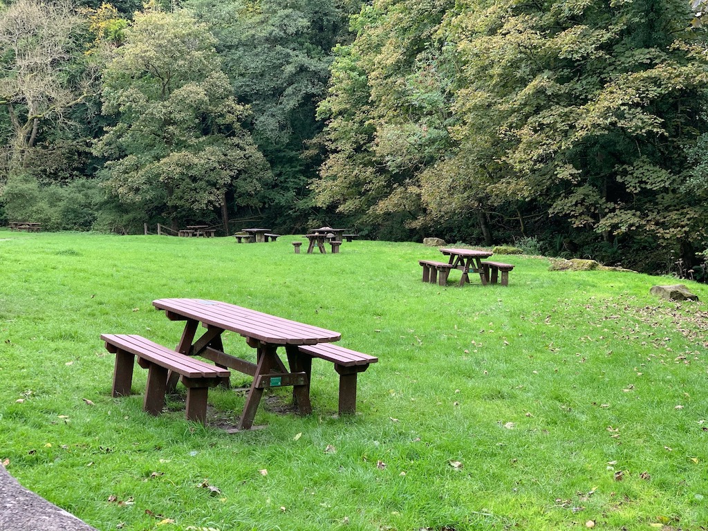
You'll then be back at the car park where there are picnic benches to have lunch.
 GrabYourBoots