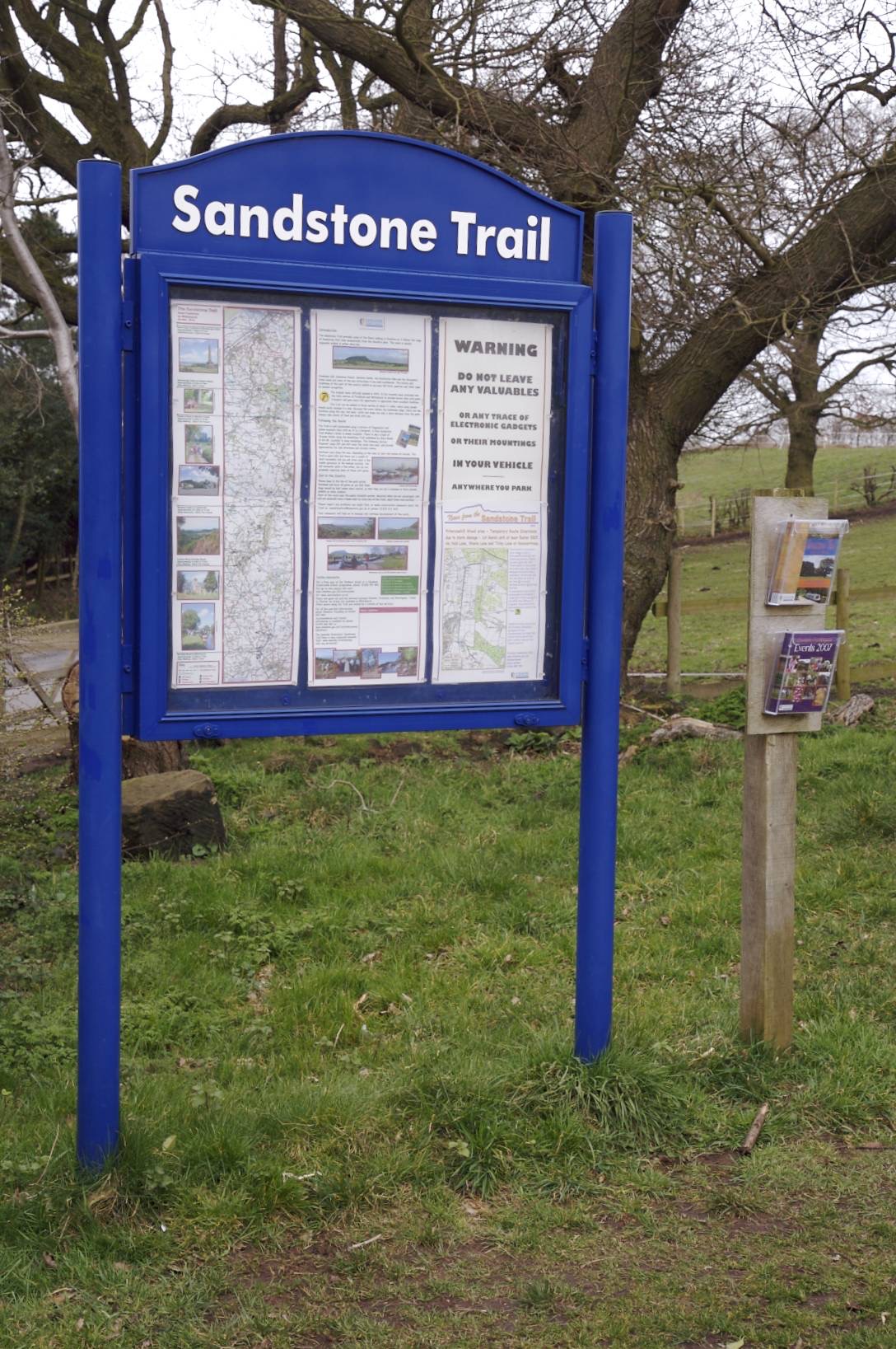
Starting at the Beacon Hill car park, this route follows part of the northern section of the Sandstone Trail at Frodsham.
| Start GPS coordinate | 53.283857, -2.723165 |
| Approximate Length | 2.68 miles |
| Approximate Duration | 73 minutes |
| Grade | Easy |
Approximate GPS co-ordinate: 53.28388, -2.72359
Leave the car park via the entrance and turn right along the road, following the Sandstone Trail sign posts. After about 50 metres you will see another signpost directing you to the left.
Approximate GPS co-ordinate: 53.284445, -2.724145
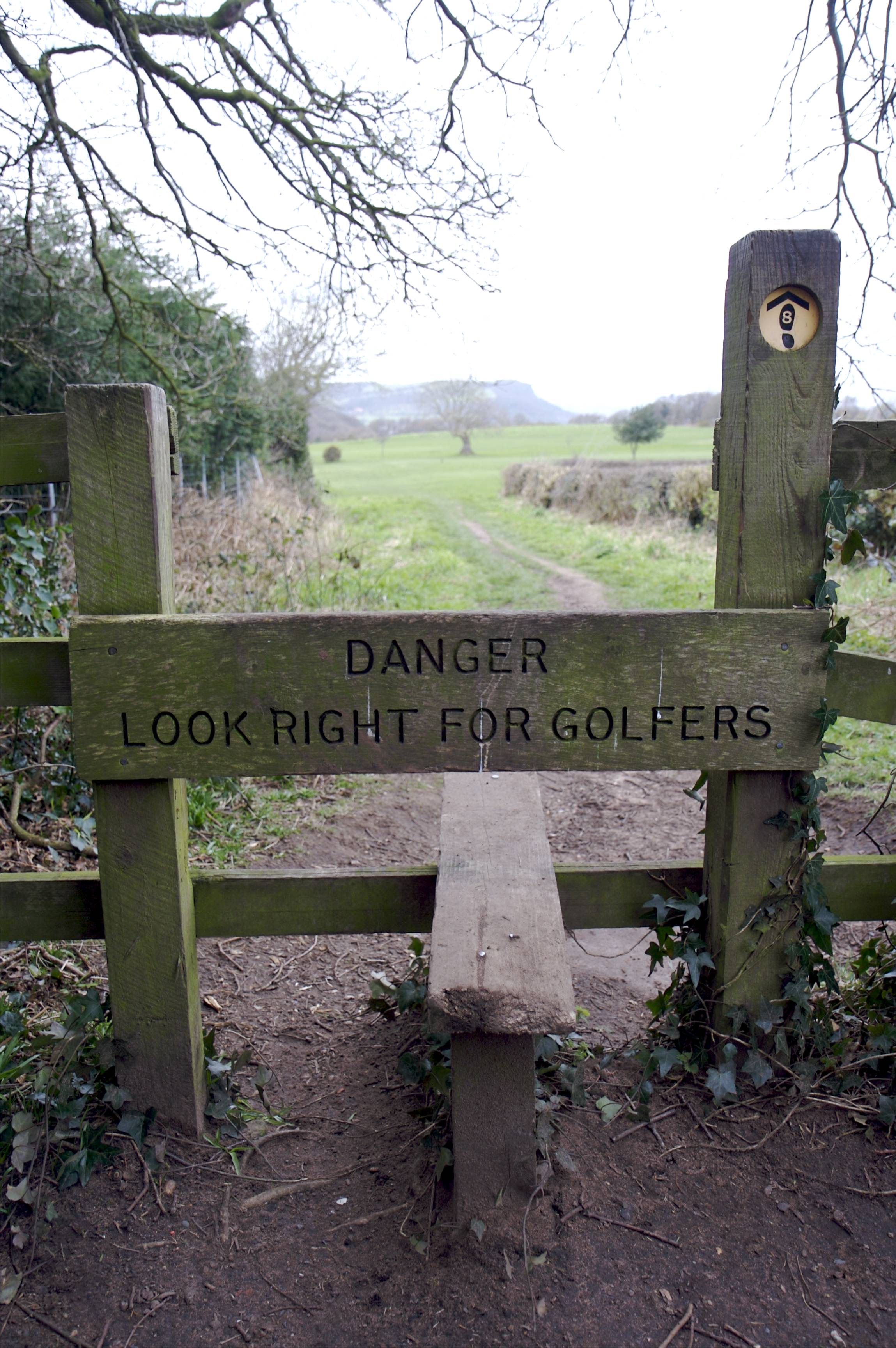
This path takes you down the hill and straight over Frodsham golf course.
Approximate GPS co-ordinate: 53.283973, -2.725387
Please beware of golf balls as you cross.
Approximate GPS co-ordinate: 53.28184, -2.729438
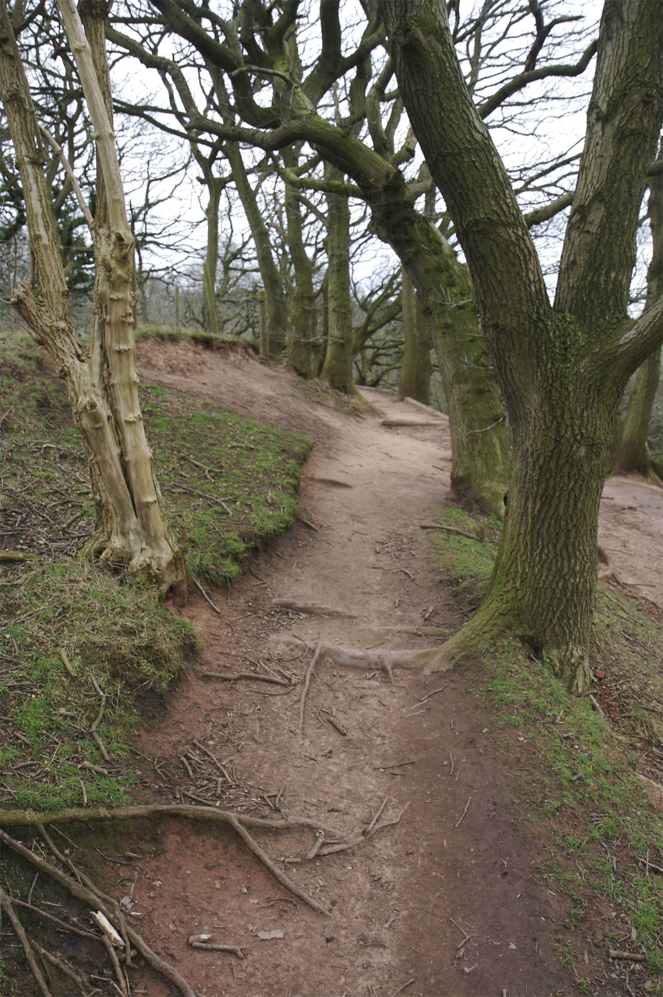
At the other side of the course there's another sign post. Take the path straight on/to the left and follow it around the top of the cliffs. There are no railings along the top, so don't stray too close to the edge. Just around the corner is the "Baker's Dozen" - a set of 13 wooden steps. Take these down the hill and follow the path around to the right.
Approximate GPS co-ordinate: 53.281433, -2.729518
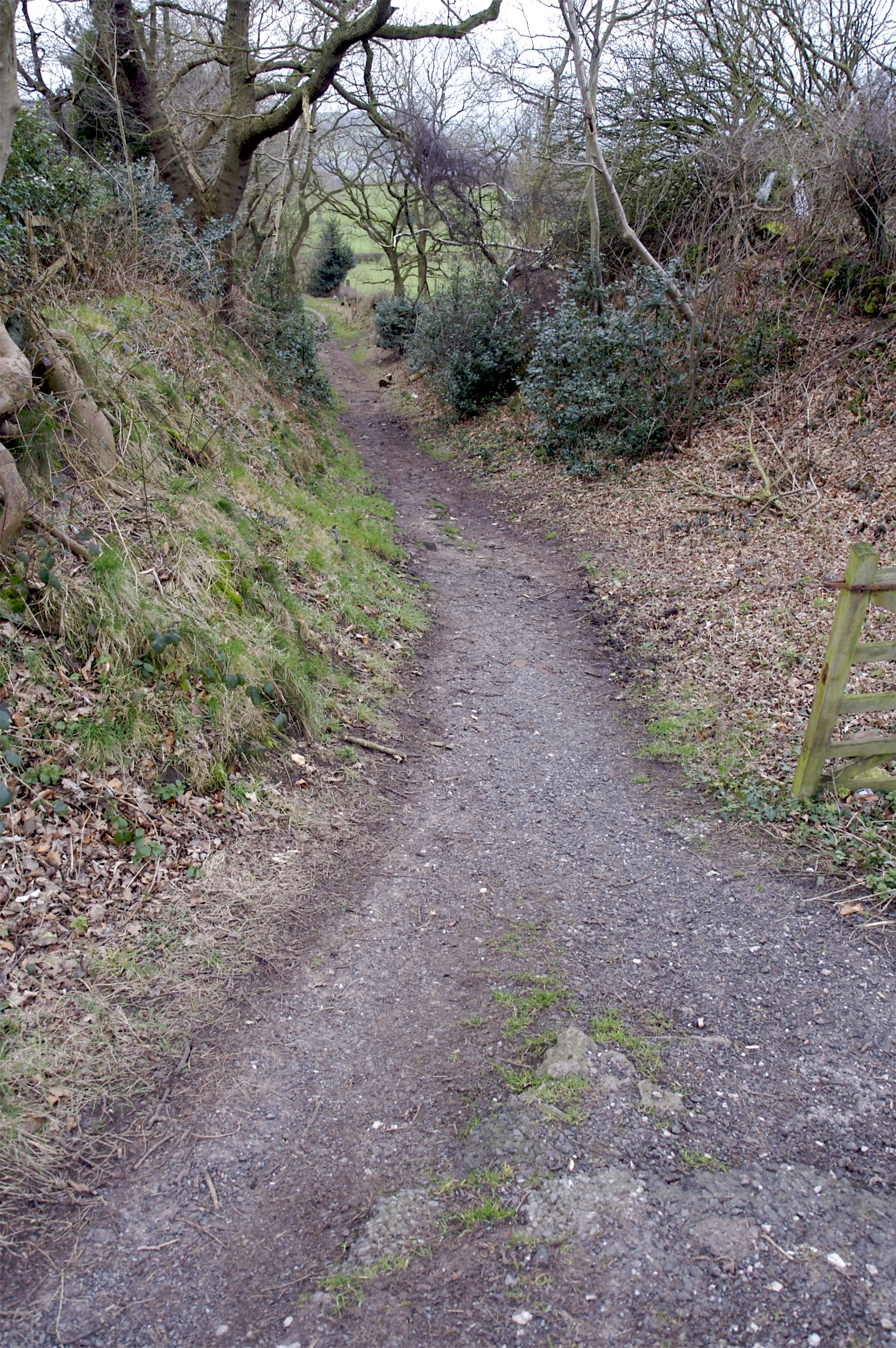
The path splits at the bottom so take the right hand branch along the bottom of the sandstone cliff.
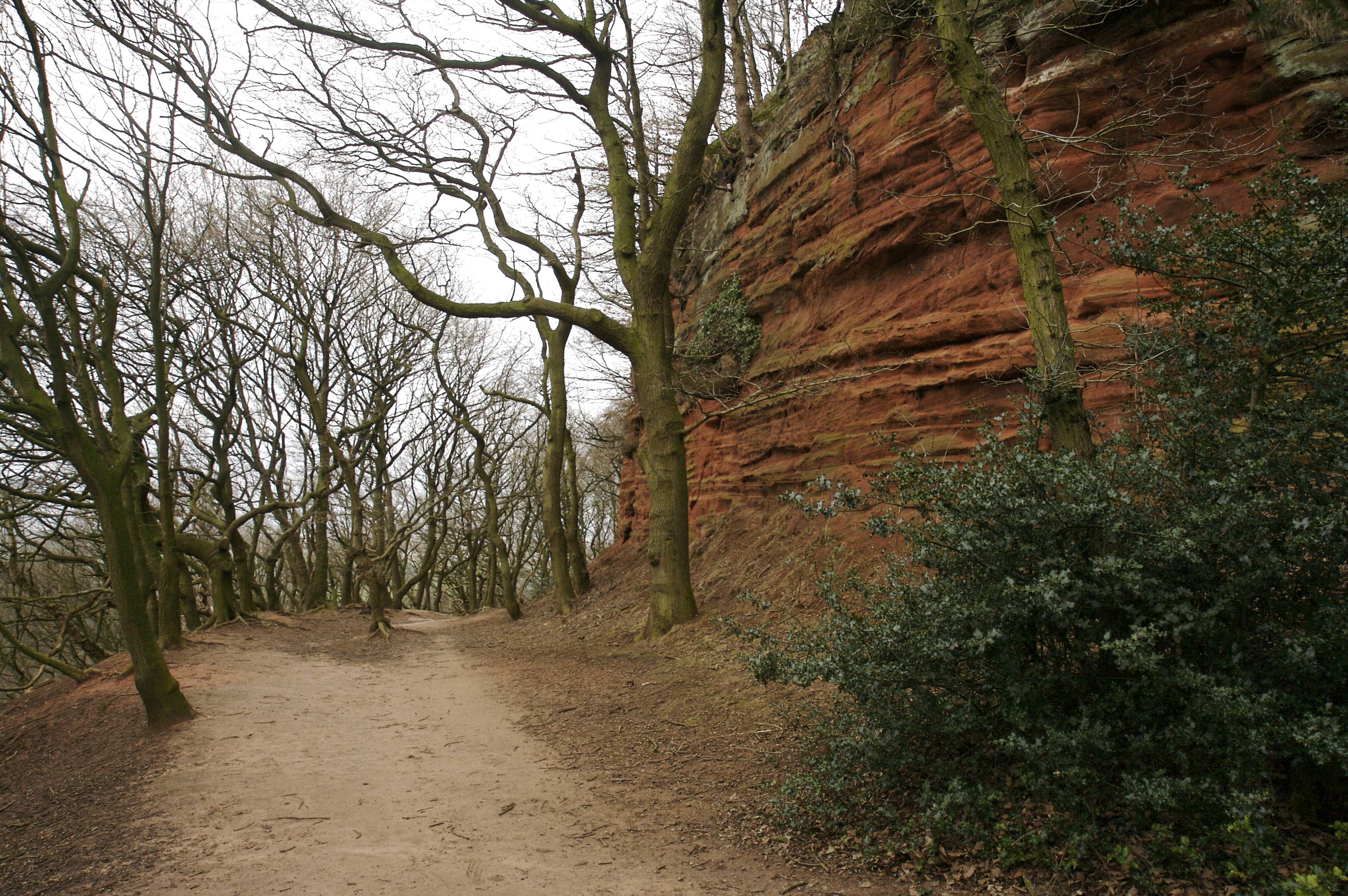
Approximate GPS co-ordinate: 53.2852, -2.73034
After a while you will come to a fence which is also the exit to the forest, however, don’t follow the road. Instead, bear off to the right along the track which becomes a bridleway.
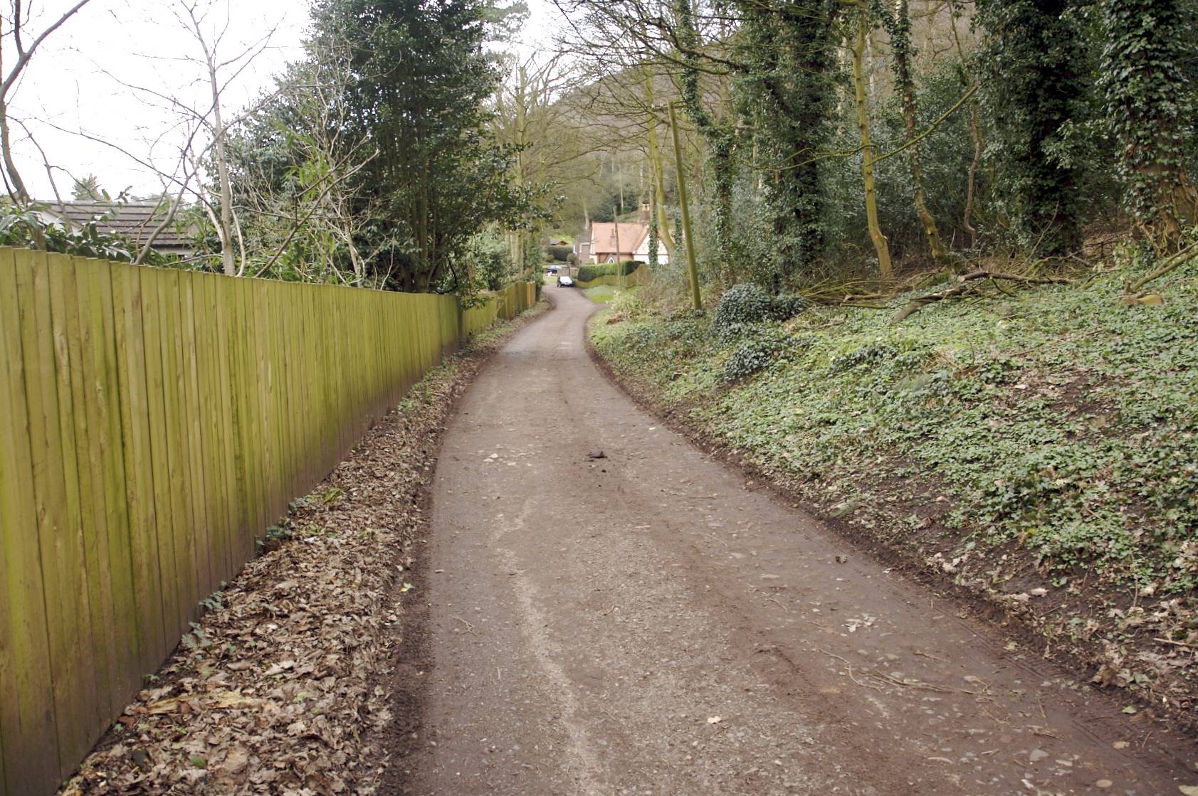
Approximate GPS co-ordinate: 53.28699, -2.728062
On reaching the Frodsham Hill Wood sign, take the right hand path, and then follow the footpath sign, again pointing off to the right, leading back up the hill. The path will take you to the top of the hill, where you will see a Sandstone Trail "S" and an arrow pointing to the left carved into a tree trunk.
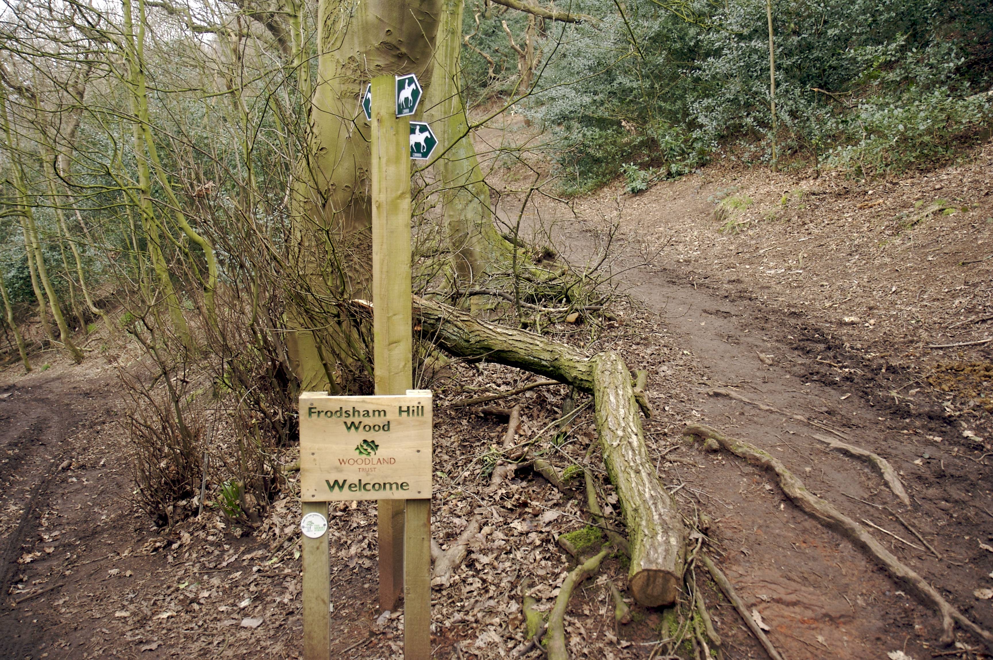
Approximate GPS co-ordinate: 53.287932, -2.725303
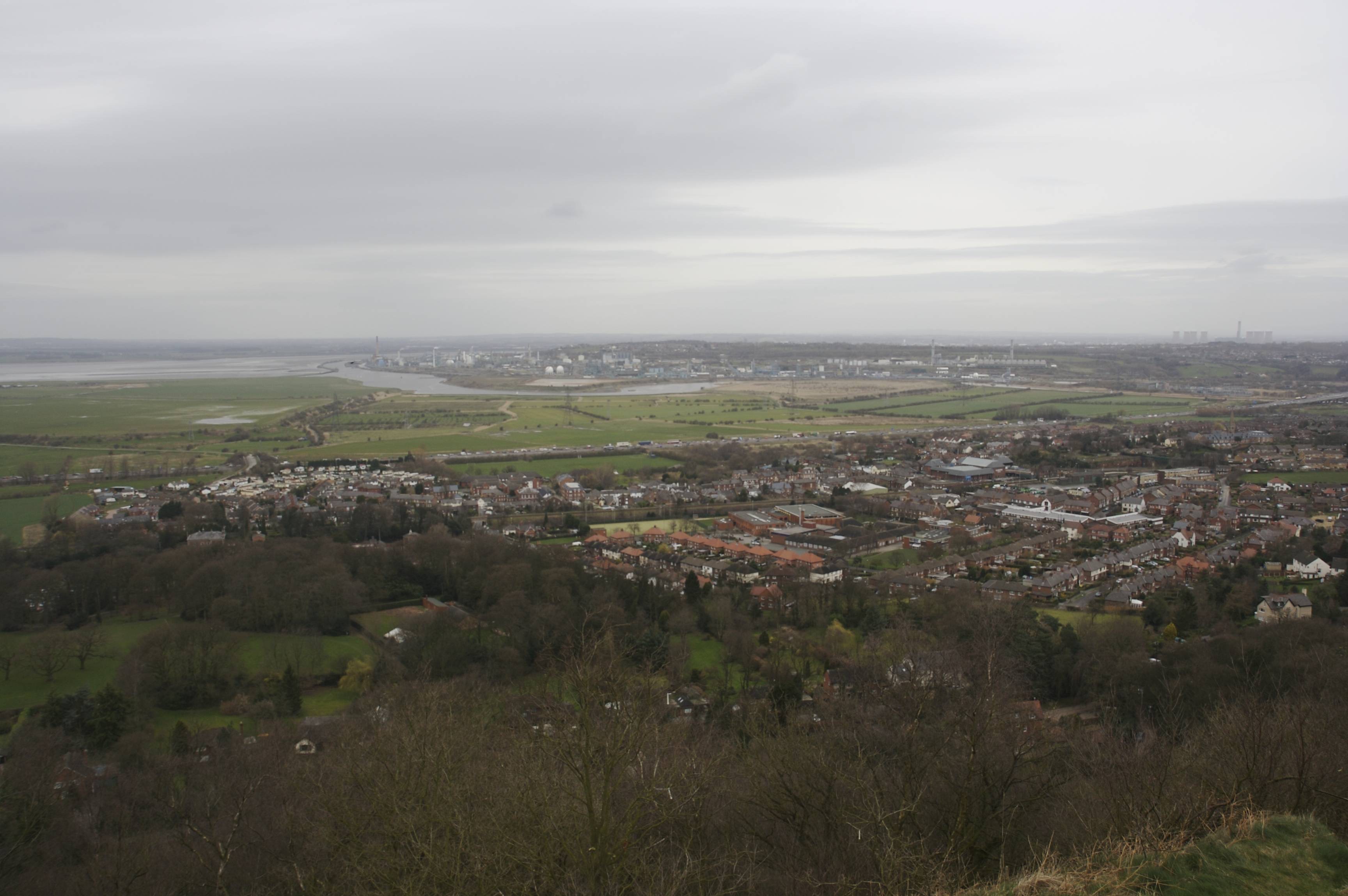
Continue along the path which will eventually exit at the monument at the top of Frodsham Hill.
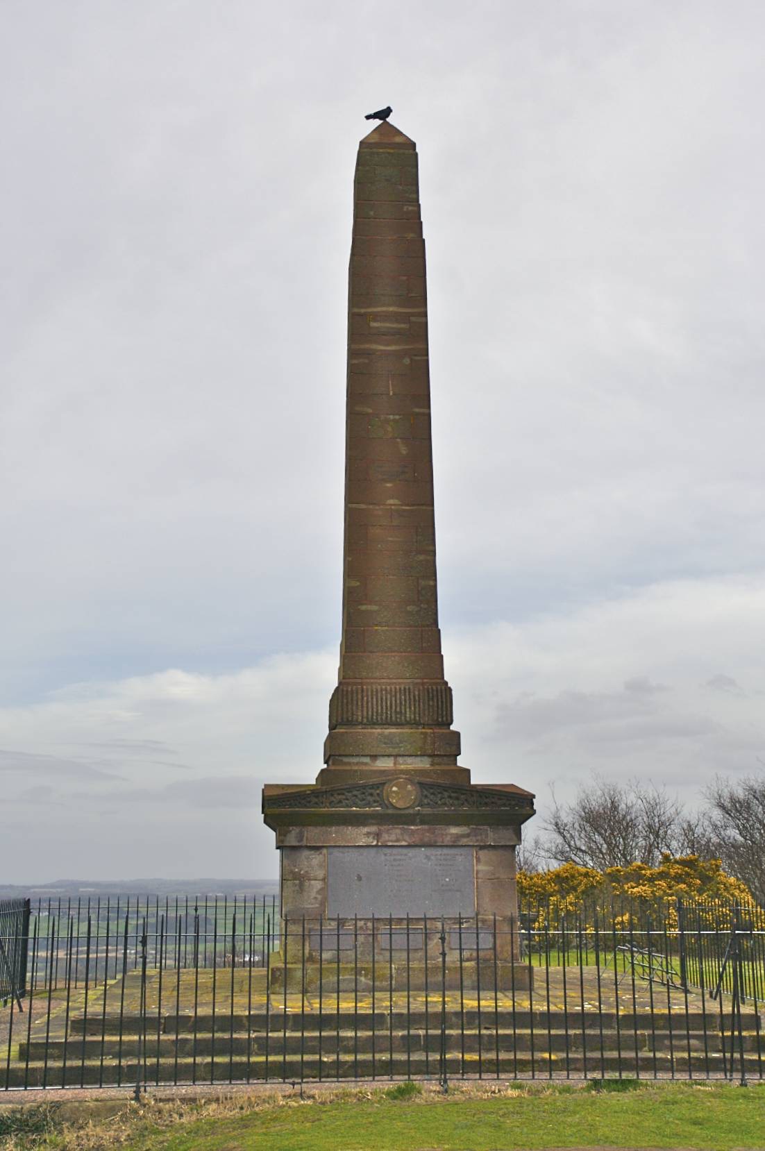
Approximate GPS co-ordinate: 53.288167, -2.725287
After enjoying the view, turn around and head towards a footpath leading to the hotel building and a small parking area on the road. Follow the road up the hill and round to the left. You will pass the signpost leading to the golf course and the car park back at the start.
 GrabYourBoots