
Hadrian's Wall Path: Wallsend to Bowness-on-Solway - Planning, Places to Stay, Places to Eat (British Walking Guides)
All-in-one guide to walking Hadrian's Wall Path National Trail. The walking guide includes: 59 large-scale walking maps, 8 town plans, 8 stage maps and 2 overview maps; reviews of places to stay - pubs, hotels, B&Bs, hostels, bunkhouses, campsites, and places to eat, attractions along the way, history, and detailed public transport information showing access points on the path; GPS Waypoints. Ideal for walking the complete path, and for weekend and day walks. New edition also includes 32 pages colour and extra colour mapping for each stage of the walk. The information is written onto the maps, so walking directions, trlicky junctions, places to stay and eat, points of interest and waking times are all written onto the maps themselves in the places to which they apply. These are not general purpose maps but fully-edited maps drawn by walkers for walkers. This week-long walk is regarded as one of the least challenging National Trails. Also includes 30pp of colour photos and a 4pp colour flower guide.
100 Walks in Northumberland
This omnibus collection of local walks covers the whole of Northumberland and is designed to appeal to those wishing to go on family outings. The book includes 100 route descriptions of circular walks from 3-12 miles. Each walk has a map, points of interest and places to eat and drink en route, plus suggestions for easy car parking. Places covered include Morpeth, Rothbury Forest, Alnwick and Berwick.

Northumberland: 40 Coast and Country Walks (Pocket Mountains) (Pocket Mountains S.)
Northumberland is England's most northern county, a magical place filled with ancient castles, golden sand beaches, rolling hills, rugged moorland and friendly little Northumberland towns and villages. This much-awaited addition to the award-nominated series of easy walking guides is an affordable and practical guide to 40 of the best family walks in the region.

PF (39) DURHAM, NORTH PENNINES & TYNE AND WEAR: Walks (Pathfinder Guide)
Durham, North Pennines and Tyne and Wear 28 circular, graded walks all tried and tested by seasoned walkers. The routes range from extended strolls to exhilarating hikes, so there is something for everyone. Full description
PF (35) Northumberland & The Scttish Borders (Pathfinder Guides)
Pathfinder Northumberland & the Scottish Borders
Short Walks in Northumbria
Short Walks in Northumbria
Walking in Northumberland. 36 Day Walks (Cicerone British Walking)
Walking in Northumberland
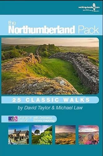
The Northumberland Pack: 25 Classic Walks
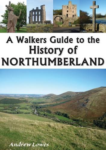
A Walkers Guide to the History of Northumberland
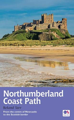
Northumberland Coast Path: Recreational Path Guide (Trail Guides)
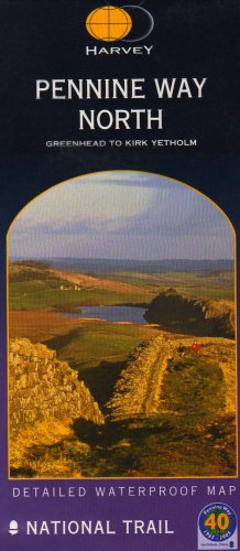
Pennine Way North: Greenhead to Kirk Yetholm (Harvey Route Map) (Route Map Series)
St Oswald's Way and St Cuthbert's Way: With the Northumberland Coast Path (British Long Distance Trails)
 GrabYourBoots